

Description
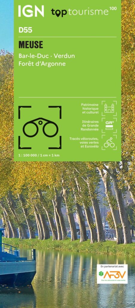
IGN TOP 100 Map: Meuse (D55) | Bar-le-Duc, Verdun, Argonne Forest
From the "blue line of the Vosges" to the meandering Meuse Valley, this Lorraine department is perfect for touring. Historic battlefields around Verdun, fortified villages, the deep forests of the Argonne, peaceful canals, and limestone plateaus—the IGN TOP 100 map of the Meuse opens up all these landscapes, whether you are setting out for a day trip or a long weekend of exploration.
Designed as a true travel companion, this 1:100,000 scale map (1 cm = 1 km) strikes the perfect balance between readability and detail. It is the ideal scale for planning a trip, driving between sites, or mapping out a cycling route without getting bogged down in the minutiae of a close-up hiking map.
Three ways to discover the Meuse:
- By bike: cycling routes are marked in partnership with AF3V (the French association for cycle routes and greenways). Developed greenways and quiet backroads invite you to ride with peace of mind.
- On foot: long-distance hiking trails (GR) and marked paths crisscross forests and hillsides. Contour lines help you gauge the terrain and tailor each outing to your fitness level that day.
- By car: ideal for a heritage-focused road trip between Bar-le-Duc, Saint-Mihiel, and the Verdun memorial sites.
A wealth of practical information
The map does more than just show roads. It highlights points of historical and cultural interest, remarkable natural sites, and useful on-the-ground services such as accommodation, water points, and picnic areas. It gives you everything you need to plan your stages and improvise breaks with total independence.
Need some inspiration? Themed itinerary suggestions guide you to the department's finest outdoor activities, allowing you to create your own custom route.
Technical specifications
- Publisher: IGN
- Edition: 2024
- Scale: 1:100,000
- Languages: French, English, German
- Printing: Double-sided
- Unfolded dimensions: 121 × 100 cm
- Folded dimensions: 25 × 11.1 cm
- Weight: 100 g
- ISBN: 9782758556473
Durable, lightweight, and easy to fold, it slips easily into a bike bag, backpack, or glove compartment. A travel-friendly format ensuring you never lose your way while exploring the Argonne, Woëvre, and Côtes de Meuse regions.
Features
Name
Meuse IGN TOP100 Map - D55 - Bar le Duc, Verdun, Argonne Forest
Length
25 cm
Width
11 cm
Height
0.5 cm
Weight
0.106 kg
Publishers
IGN
Scale
1/100 000
Type
Map
This might interest you

Falk Netherlands Cycling Atlas
Falk Practical Cycling Atlas of the Netherlands with 1:75,000 maps of the entire Dutch cycling network and a network of junctions to plan your cycling route in the Netherlands.
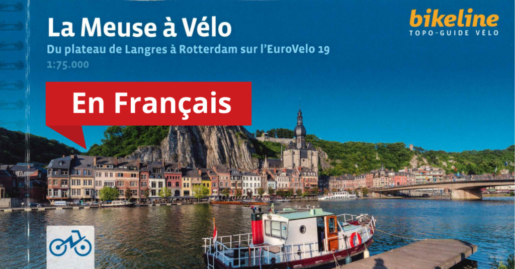
The Meuse by bike - From Langres to Rotterdam
Cross France, Belgium and the Netherlands on the Eurovélo 19. More than 1080 km are listed in this 1st edition in French. Very detailed mapping at 1:75,000 and an ideal format for a bike rack.