
Description
An IGN TOP25 map for exploring the Lot Valley
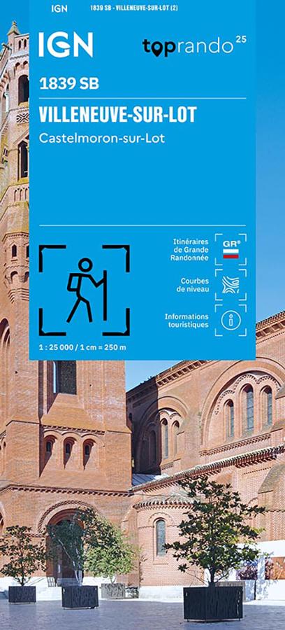
The IGN TOP25 Villeneuve-sur-Lot – Castelmoron-sur-Lot map is an essential tool for discovering this part of the Lot-et-Garonne department. It provides a precise view of the terrain, elevation, paths, secondary roads, and villages.
With its 1:25,000 scale, it allows you to plan detailed routes and easily track your progress on the ground. It is therefore ideal for hikers, regular walkers, cyclists, and travelers wishing to explore the region with a reliable paper map.
The Villeneuve-sur-Lot and Castelmoron-sur-Lot area is perfect for outdoor excursions. With its mix of valleys, hillsides, farmland, *bastides* (fortified towns), small villages, and the banks of the Lot River, there is plenty to discover.
Hiking, cycling, and walking in Lot-et-Garonne
This map is particularly useful for planning hikes around Villeneuve-sur-Lot, Castelmoron-sur-Lot, and neighboring towns. It allows you to visualize paths, contour lines, woodlands, water sources, hamlets, and access points.
For walkers, it helps in choosing a route, identifying alternative paths, and gauging distances. It is also handy for organizing a day-long loop or a shorter stroll.
For cyclists, it helps identify minor roads, local connections, and the lay of the land. It is a great tool for planning a bike ride through the Lot Valley, the hillsides, and the villages of Lot-et-Garonne.
A precise tool for navigating the terrain
The IGN TOP25 Villeneuve-sur-Lot – Castelmoron-sur-Lot map perfectly complements GPS apps or digital tracks. A paper map offers an immediate overview and is highly practical when comparing different route options.
It also provides a better understanding of the landscape and the layout of the area. Contour lines, paths, roads, and natural landmarks make it easy to plan outings and navigate the area.
It is a highly useful map for locals, visiting hikers, cycle tourists, and travelers wishing to discover the Lot-et-Garonne region in a different way—at their own pace.
Map highlights:
- IGN TOP25 map covering the Villeneuve-sur-Lot – Castelmoron-sur-Lot area
- 1:25,000 scale
- Ideal for hiking and nature walks
- Useful for planning walking or cycling trips
- Precise detail of paths, minor roads, villages, and terrain
- Covers the Lot Valley area in Lot-et-Garonne
- Practical for planning loop routes and alternative paths
- Reliable paper map to complement GPS devices or apps
- Suitable for hikers, cyclists, locals, and travelers
- A great map for exploring Lot-et-Garonne in detail
FAQ
What area does the Villeneuve-sur-Lot – Castelmoron-sur-Lot IGN TOP25 map cover?
It covers the Villeneuve-sur-Lot and Castelmoron-sur-Lot area in Lot-et-Garonne, including the surrounding towns, roads, paths, and landscapes.
Is this map suitable for hiking?
Yes. Its 1:25,000 scale is particularly well-suited for hiking, as it allows for precise reading of paths, terrain, and landmarks.
Can it be used to plan a cycling trip?
Yes. It allows you to identify minor roads, terrain, villages, and local connections, making it useful for planning bike rides or tours.
What is the scale of this map?
The scale is 1:25,000. This means that 1 cm on the map corresponds to 250 m on the ground.
Why choose a TOP25 map for this area?
Because it offers a level of detail that is very useful for finding your way around on the ground. It is more precise than a road or tourist map and is perfectly suited for hiking, nature walks, and local outings.
Features
Name
IGN TOP25 map Villeneuve-sur-Lot – Castelmoron-sur-Lot
Weight
0.1 kg
Language
French