
Description
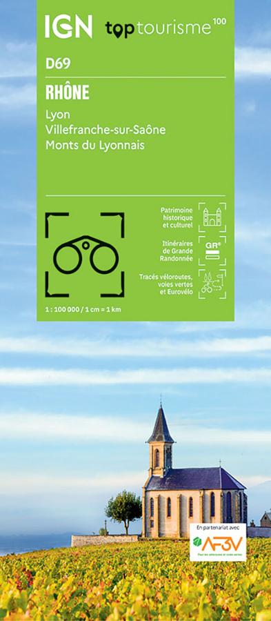
An IGN map to explore the Rhône
The IGN TOP100 Rhône card is ideal for planning a stay between town, countryside, vineyards, valleys and reliefs. It offers a clear vision of the department and makes it easy to organize trips around Lyon, Beaujolais, the Saône valley and the Monts du Lyonnais.
Thanks to its scale of 1:100,000, it allows you to visualize distances, main roads, access points, hiking routes and cycling routes. Thus, it becomes very useful for building a circuit, preparing for a weekend or connecting several sites in the same day.
This new map with departmental division makes it easier to read the territory. It is suitable both for travelers who want to visit the region and for hikers and cyclists who want to prepare their outings with reliable paper support.
Hiking, cycling and tourism around Lyon
The Rhône is a varied destination for lovers of outdoor activities. Near Lyon, the Monts du Lyonnais, the Monts d’Or, the hillsides, villages and small roads offer many possibilities for walks.
For walkers, this map allows you to identify major hiking areas, marked paths and natural areas to explore. She helps choose a route, organize access and prepare an outing program. To precisely follow a trail in the field, however, a local IGN TOP25 map remains more suitable.
For cyclists, it also constitutes a very practical support. The bike routes, secondary roads and local connections allow you to imagine loops, stages or getaways between Lyon, Villefranche-sur-Saône, Beaujolais and the Monts du Lyonnais.
Practical support for organizing your stay
The Rhône IGN TOP100 map allows you to keep an overall view of the department. It helps to easily connect several atmospheres: the Lyon metropolis, the wine-growing landscapes, the villages of Beaujolais, the valleys of the Monts du Lyonnais and the banks of the Saône.
It complements very well a tourist guide, a GPS track or an application. Indeed, its paper format makes it possible to compare several itineraries, to plan variations and to better understand the organization of the territory.
Finally, this card is a simple, reliable and versatile tool for preparing for outings. Whether you go walking, cycling or exploring the region by car, it makes organizing your stay easier and makes you want to get off the main roads.
Card highlights:
- IGN TOP100 map dedicated to the Rhône department
- Scale 1:100,000
- New departmental division
- Covers Lyon, Villefranche-sur-Saône and the Monts du Lyonnais
- Ideal for tourism on foot, by bike or by car
- Hiking trails, tourist sites and practical information indicated
- Useful cycling routes and secondary roads to prepare for your outings
- Good overview between city, vineyards, valleys and reliefs
- Practical support for organizing a weekend or a stay in Auvergne-Rhône-Alpes
- Useful map in addition to a GPS, an application or a guide
FAQs
What area does the IGN TOP100 Rhône map cover?
It covers the Rhône department, including Lyon, Villefranche-sur-Saône, the Monts du Lyonnais, villages, valleys, secondary roads and the main tourist sites.
Is this map suitable for cycling?
Yes. It allows you to identify cycle routes, secondary roads and local connections. It is therefore useful for preparing cycle tours in the Rhône.
Can this map be used for hiking?
Yes. It allows you to visualize hiking trails and major walking areas. To precisely follow a route in the field, a local IGN TOP25 map remains recommended.
What is the scale of this map?
The scale is 1:100,000. This means that 1 cm on the map corresponds to 1 km on the ground.
Why choose a TOP100 card for the Rhône?
Because it offers an overview of the department. It is practical for organizing a stay, preparing cycling trips, spotting tourist sites and planning hikes around Lyon, Beaujolais and the Monts du Lyonnais.
Features
Name
IGN TOP100 Map Rhône – Lyon, Villefranche-sur-Saône, and Monts du Lyonnais
Width
11.1 cm
Height
25.5 cm
Weight
0.106 kg
Language
French
Scale
1/100 000
This might interest you
Similar Products
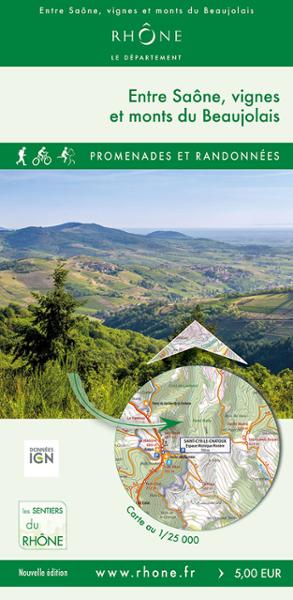
BETWEEN SAÔNE, VINEYARDS AND BEAUJOLAIS MOUNTAINS
This map of 40 loops of walks and hikes, on foot, by bike and on horseback, will allow you to discover towns like Montmela-Saint-Sorlin, Gleizé, Limas, the Beaujolais mountains.
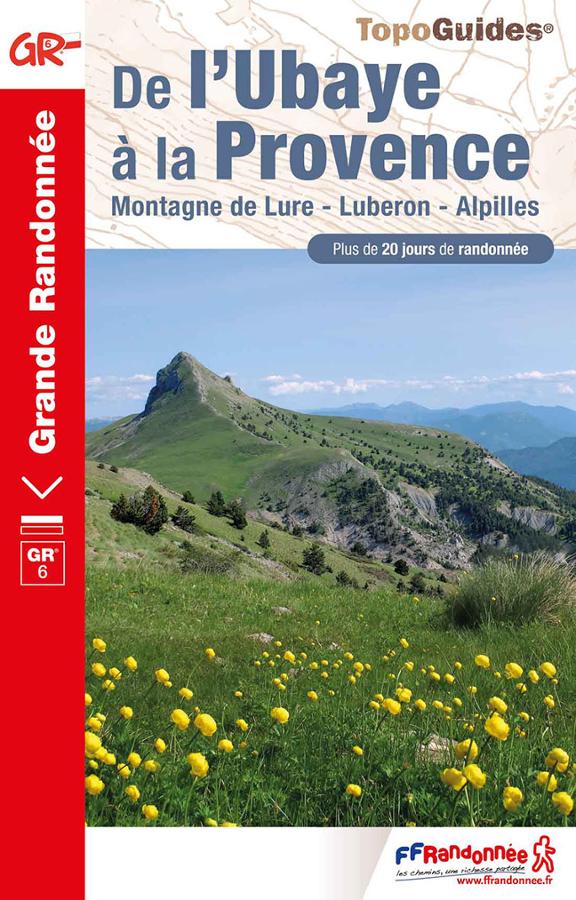
De l'Ubaye à la Provence - GR6
Topoguide FFRP on the last part of the GR® 6, from Bouches-du-Rhône to Alpes-de-Haute-Provence, a 20-day itinerary.
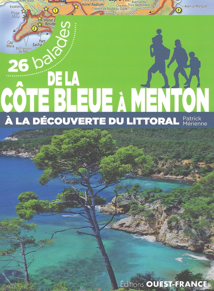
De la Côte Bleue à Menton - 26 balades
Guide de 26 balades réalisables en famille depuis la Côte Bleue jusqu'à Menton par les îles du Frioul, les calanques de Marseille ou la baie de Cannes.