
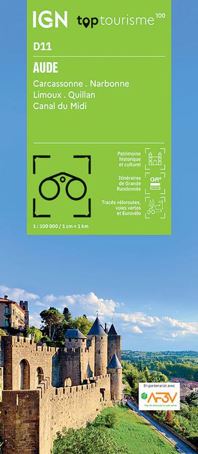

Description
A map to plan your stay in the Aude
The IGN TOP100 Aude map is a very useful tool for exploring the department without losing sight of the big picture. It allows you to locate major towns, secondary roads, cycling routes, hiking trails, and key tourist attractions.
It is particularly suitable for planning a trip around Carcassonne, Narbonne, the Upper Aude Valley, the Minervois region, the Corbières hills, or the Canal du Midi. At a glance, it helps you understand distances and connections between the coast, vineyards, plains, gorges, and foothills of the Pyrenees.
Thanks to its 1:100,000 scale, this map is ideal for planning a route, organizing stages, or choosing areas to explore during a weekend or holiday.
Cycling, hiking, and Cathar heritage
The Aude is a rich region for active travelers. Here you'll find cycle paths, quiet roads, GR® long-distance hiking trails, charming villages, abbeys, castles, and stunning landscapes between the Mediterranean and the mountains.
For cyclists, the map helps locate cycle routes and greenways integrated with the AF3V network. It's therefore useful for planning a ride around the Canal du Midi, designing a route through vineyards and villages, or connecting several tourist sites.
For walkers, it provides a good overview of major trails and hiking areas. While it doesn't replace a TOP25 map for detailed route information, it helps in choosing an area, anticipating access points, and organizing your itinerary.
A simple tool for connecting must-see attractions
This TOP100 map is valuable because it allows you to easily move from one site to another: the city of Carcassonne, the Corbières landscapes, Narbonne and its heritage, the Canal du Midi, the villages of the Minervois region, or the hills around Quillan.
It is therefore aimed at cyclists, hikers, and travelers who enjoy alternating between driving, cycling, and walking. As a complement to a guidebook or GPS track, it remains a reliable paper reference for planning your route and maintaining a clear understanding of the area.
Map Highlights:
- IGN TOP100 map dedicated to the Aude department
- Covers Carcassonne, Narbonne, Limoux, Quillan, and the Canal du Midi
- Scale: 1:100,000
- Ideal for tourism, cycling, light hiking, and road trips
- GR®, GR® de Pays, secondary roads, and cycle routes marked
- Integrated cycle routes in partnership with AF3V
- Good overview of the coastline, vineyards, Corbières, and Pyrenees
- Useful for planning a trip to Cathar country
- Legend in French, English, and German
FAQ
What area does the IGN TOP100 Aude map cover?
It covers the Aude department, including Carcassonne, Narbonne, Limoux, Quillan, the Canal du Midi, and the department's major natural and tourist areas.
Is this map suitable for cycling?
Yes. It incorporates cycle routes and greenways in partnership with AF3V, making it practical for planning cycling tours.
Can it be used for hiking?
Yes, especially for locating GR® trails and choosing a hiking area. For following a precise route on the ground, a local IGN TOP25 map will be more suitable.
What is the scale of this map?
The scale is 1:100,000. This means that 1 cm on the map corresponds to 1 km on the ground.
Is this map useful for exploring the Canal du Midi?
Yes. It allows you to locate the Canal du Midi within the department and plan cycling trips or stages around this iconic route.
Features
Name
IGN TOP100 map of Aude – Carcassonne, Narbonne and Canal du Midi
Width
11.5 cm
Height
25 cm
Weight
0.1 kg