
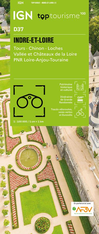

Description
An IGN map for exploring Indre-et-Loire
The IGN TOP100 Indre-et-Loire map is ideal for planning a trip to the heart of Touraine. It offers a clear overview of the department, featuring valleys, vineyards, forests, villages, châteaux, historical heritage sites, and the banks of the Loire.
With a scale of 1:100,000 (where 1 cm equals 1 km), it makes it easy to visualize distances, access points, roads, and major routes. It helps you plan a day trip, a weekend getaway, or a more comprehensive tour of the region.
It covers key locations such as Tours, Chinon, Loches, the Loire Valley, the Loire Châteaux, and the Loire-Anjou-Touraine Regional Natural Park. It is a highly practical map for planning a trip that combines hiking, cycling, heritage exploration, and sightseeing.
Hiking, cycling, and the Loire Châteaux
Indre-et-Loire is a must-visit destination for fans of slow tourism. With the banks of the Loire, the valleys of the Vienne, Indre, and Cher rivers, châteaux, charming villages, and vineyards, there are countless outing possibilities.
For hikers, this map helps identify hiking trails and major walking areas. It assists in choosing a location, planning access, and organizing an itinerary. However, for precise route-following on the ground, a local IGN TOP25 map remains more suitable.
For cyclists, it is also an excellent planning tool. Cycle routes, secondary roads, and local connections allow you to plan loops, stages, or cycling excursions between Tours, Chinon, Loches, Amboise, the banks of the Loire, and major tourist sites.
A practical tool for planning your trip
The IGN Top Tourisme D37 Indre-et-Loire map provides a comprehensive overview of the department. It helps easily connect various areas: Tours, Chinon, Loches, Amboise, Chenonceaux, Azay-le-Rideau, Villandry, the Loire, the valleys, the forests, and the villages of Touraine.
It serves as an excellent complement to a guidebook, GPS track, or app. Its paper format allows you to compare routes, plan alternatives, and gain a better understanding of the region's layout.
Finally, this map is a simple, reliable tool for planning outings in Indre-et-Loire. It is designed for hikers, cyclists, families, and travelers wishing to explore Touraine using a clear, practical, and easy-to-consult resource.
Map highlights:
- IGN TOP100 map dedicated to the Indre-et-Loire department
- 1:100,000 scale
- Reference D37
- Covers Tours, Chinon, Loches, the Loire Valley, and the Loire Châteaux
- Includes the Loire-Anjou-Touraine Regional Nature Park area
- Tourist sites, hiking trails, and cycle routes all on one map
- Ideal for planning outings on foot, by bike, or by car
- Useful for organizing a weekend trip, a nature getaway, or a sightseeing tour
- Provides a great overview of the Loire, valleys, vineyards, châteaux, and villages
- Practical paper format to complement GPS or apps
FAQ
What area does the IGN TOP100 Indre-et-Loire map cover?
It covers the Indre-et-Loire department, including Tours, Chinon, Loches, the Loire Valley, the Loire Châteaux, and the Loire-Anjou-Touraine Regional Nature Park.
Is this map suitable for cycling?
Yes. It allows you to identify cycle routes, secondary roads, and local connections, making it useful for planning cycling tours in Touraine and the Loire Valley.
Can it be used for hiking?
Yes. It allows you to visualize hiking trails and major walking areas. To follow a specific route on the ground, a local IGN TOP25 map is still recommended.
What is the scale of this map?
The scale is 1:100,000. This means that 1 cm on the map corresponds to 1 km on the ground.
Why choose a TOP100 map for Indre-et-Loire?
Because it provides an overview of the department. It helps you plan outings, connect various sites, and map out routes between Tours, the châteaux, the valleys, the villages, and the landscapes of Touraine.
Features
Name
IGN TOP100 Map Indre-et-Loire – Tours, Chinon, Loches, Loire Valley and Châteaux
Width
11.1 cm
Height
25.5 cm
Weight
0.106 kg
Language
French
Scale
1/100 000
This might interest you
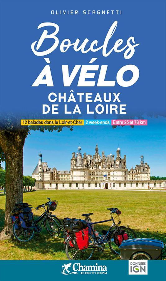
Boucles à vélo - les Châteaux de la Loire
Chamina bike guide for 12 itineraries between 25 and 78 km around the Loire castles with maps and IGN data.

Châteaux de la Loire, les plus belles balades à vélo
Guide Petit Futé des plus belles balades à vélo à la découverte des Châteaux de la Loire avec cartes et adresses utiles.
Similar Products
Boucles à vélo - les Châteaux de la Loire
Chamina bike guide for 12 itineraries between 25 and 78 km around the Loire castles with maps and IGN data.
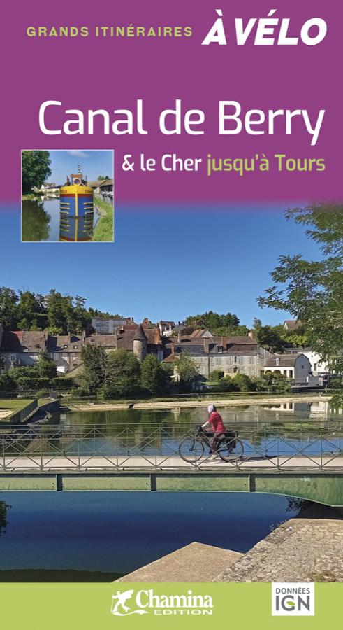
Canal de Berry et le Cher jusqu'à Tours - Grands itinéraires vélo
Chamina bike guide on the Canal de Berry and the Cher from Montluçon to Tours with a variant that joins the Loire by bike.
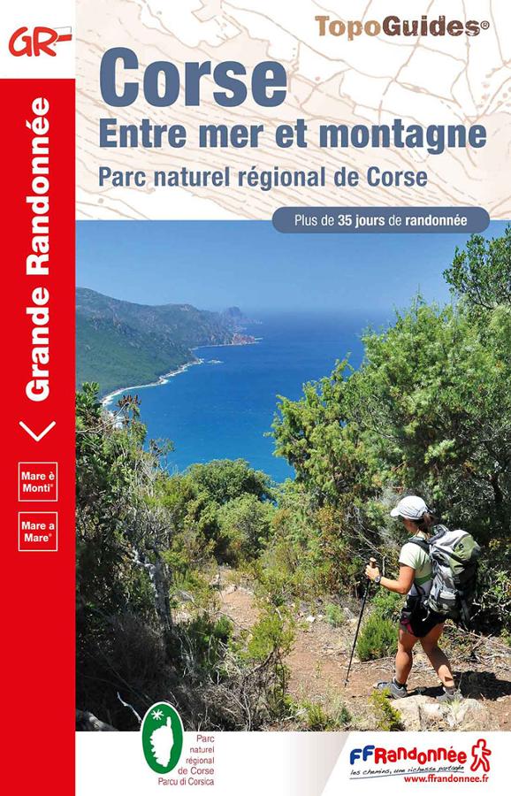
Corsica GR20 - between sea and mountains
Topoguide of hike FFRP on Corsica Mare è Monti between sea and mountain with more than 35 days of hike in the regional natural park of Corsica.