
Description
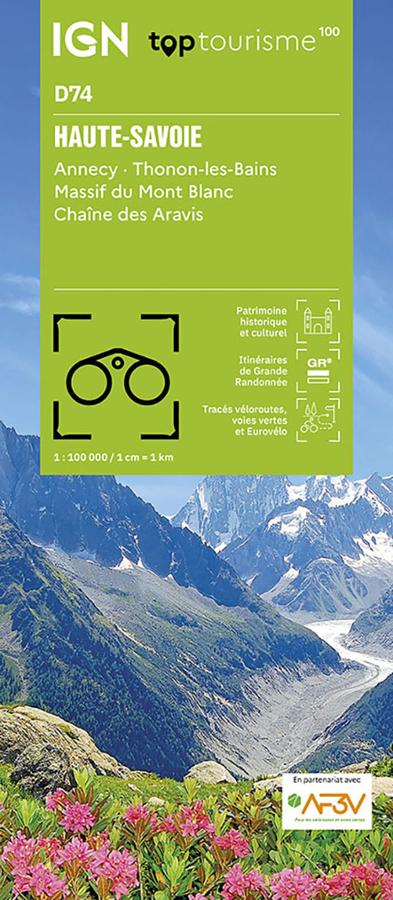
An IGN map for exploring Haute-Savoie
The IGN TOP100 Haute-Savoie map is ideal for planning a trip to one of France’s most beautiful Alpine departments. Featuring lakes, mountains, valleys, resorts, villages, mountain passes, and panoramic views, it offers a highly useful overview for planning your travels.
With its 1:100,000 scale, it allows you to visualize distances, road access, major routes, and natural areas worth exploring. It helps you build an itinerary, choose stopovers, and identify connections between valleys.
It covers areas including Annecy, Thonon-les-Bains, the shores of Lake Geneva (Lac Léman), mountain zones, and access routes to the Mont Blanc massif. It is therefore a practical map for planning an active holiday involving hiking, cycling, sightseeing, and enjoying grand Alpine landscapes.
Hiking, cycling, and the magnificent landscapes of Haute-Savoie
Haute-Savoie is a premier destination for outdoor enthusiasts. Hikers will find Alpine trails, high-altitude lakes, panoramic viewpoints, mountain pastures, forests, and routes leading to the most spectacular vistas.
For walkers, this map helps identify major hiking areas and key access points to the mountain ranges. It is useful for selecting a zone, planning a day’s hike, or organizing a multi-day trekking trip. However, for precise trail navigation on the ground, a local IGN TOP25 map remains more suitable.
It is also an excellent planning tool for cyclists. Mountain roads, valleys, lakeside routes, and major mountain passes offer opportunities to devise a wide variety of circuits. It is a great map for planning a bike ride, a cycle-touring holiday, or a more challenging mountain stage.
A practical tool for planning an Alpine getaway
The IGN TOP100 Haute-Savoie map provides a comprehensive overview of the department. It helps easily connect several areas: Annecy, Thonon-les-Bains, Lake Geneva (Lac Léman), the Aravis, Chablais, and Faucigny regions, the Alpine valleys, and access routes to Mont Blanc.
It serves as an excellent complement to a guidebook, GPS track, or app. Its paper format allows you to compare routes, plan alternative paths, and better understand the lay of the land.
Finally, this map is a simple, effective tool for planning a trip to Haute-Savoie. It is designed for hikers, cyclists, families, and travelers who want to enjoy the Alps with a clear, reliable, and easy-to-use resource.
Map highlights:
- IGN TOP100 map dedicated to Haute-Savoie
- 1:100,000 scale
- Covers Annecy, Thonon-les-Bains, and major Alpine areas
- Ideal for planning trips on foot, by bike, or by car
- Features tourist sites, hiking trails, and cycling routes
- Provides a great overview of lakes, valleys, mountain ranges, and mountain passes
- Practical for organizing a weekend getaway, a nature-focused holiday, or a sightseeing tour
- Useful for exploring Lake Annecy, Lake Geneva, the Aravis, Chablais, and Mont Blanc
- A paper resource that complements GPS devices, apps, and guidebooks
- Suitable for travelers, hikers, cyclists, and mountain enthusiasts
FAQ
What area does the IGN TOP100 Haute-Savoie map cover?
It covers the Haute-Savoie department, including Annecy, Thonon-les-Bains, the shores of Lake Geneva, Alpine mountain ranges, valleys, and major tourist sites.
Is this map suitable for cycling?
Yes. It allows you to identify roads, cycling routes, valleys, and major mountain passes. It is therefore useful for planning cycle touring trips or more strenuous mountain rides. Can it be used for hiking?
Yes. It allows you to visualize major hiking areas and access routes to mountain ranges. However, for precise on-the-ground navigation along a specific route, a local IGN TOP25 map is still recommended.
What is the scale of this map?
The scale is 1:100,000. This means that 1 cm on the map corresponds to 1 km on the ground.
Why choose a TOP100 map for Haute-Savoie?
Because it provides an overview of the entire department. It is practical for planning a trip, connecting different valleys, and organizing outings that take in lakes, mountains, mountain passes, resorts, and Alpine villages.
Features
Name
IGN TOP100 Map Haute-Savoie – Annecy, Thonon-les-Bains, and Mont-Blanc
Width
11.1 cm
Height
25.7 cm
Weight
0.106 kg
Language
French
Scale
1/100 000
This might interest you
Similar Products

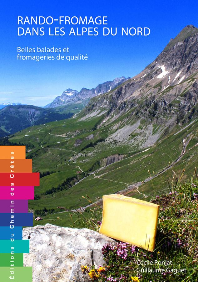
Alpes du Nord - Voyages à vélo et vélo électrique
Guide cyclable pour préparer votre parcours dans les Alpes du Nord à vélo ou vélo électrique avec cartes, descriptifs et informations pratiques.
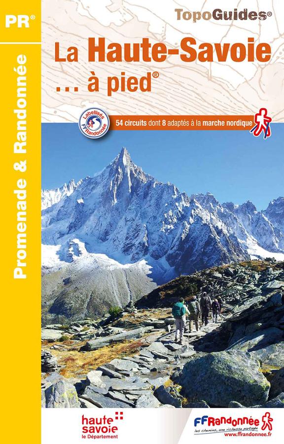
La Haute-Savoie à pied
FFRP hiking topoguide on Haute-Savoie with a selection of 54 circuits including 8 suitable for Nordic walking.
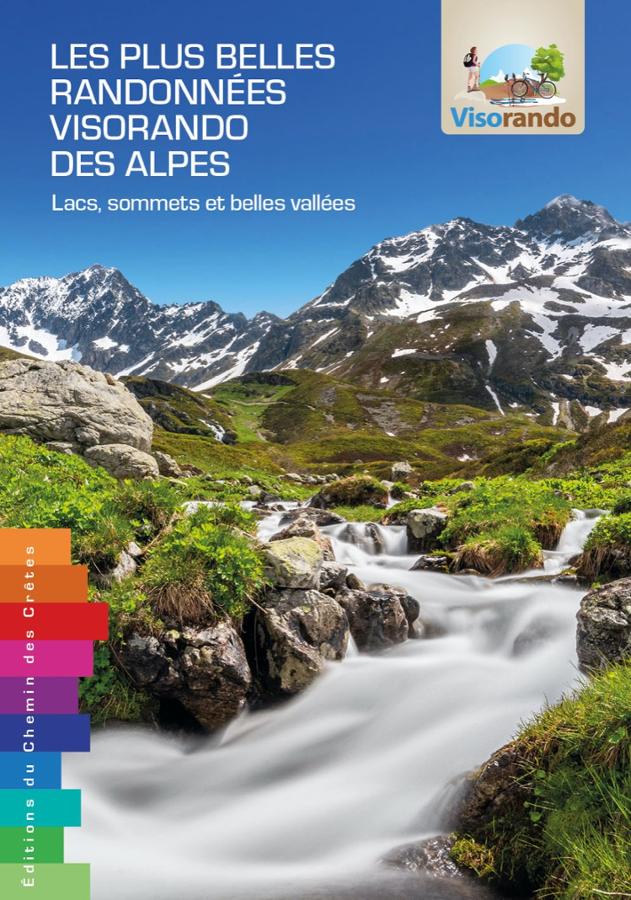
Les plus belles randonnées visorando des Alpes
The 62 most beautiful Visorando hikes through the Alps from Chartreuse to Mercantour, with a qr code for each hike.