Description
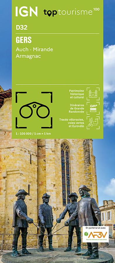
An IGN map for exploring the Gers
The IGN TOP100 Gers map is perfect for planning a trip to this southwestern department, renowned for its rolling landscapes, villages, Gascon heritage, and quiet roads. It provides a comprehensive view of the area, making it easier to plan travel between towns, *bastides* (fortified medieval towns), valleys, and hillsides.
With its 1:100,000 scale, it offers a clear view of distances. This helps in planning an itinerary, identifying secondary roads, and linking multiple sites within a single day.
It is suitable for a stay around Auch, a getaway to Mirande, exploring the Armagnac region, or a nature-focused tour through the Gers countryside.
Cycling, hiking, and tourism in Gascony
The Gers is best discovered on foot, by bike, or by car. Small roads, gentle terrain, hilltop villages, markets, churches, *bastides*, and agricultural landscapes create an ideal setting for slow travel.
For hikers, this map helps identify GR® (long-distance) and GR® de Pays (regional) trails. It assists in choosing a hiking area, planning access points, and organizing a walking schedule. However, for precise trail navigation on the ground, a local IGN TOP25 map remains more suitable.
For cyclists, it serves as a great planning tool. Cycling routes, greenways, and local roads allow you to devise loops, plan touring stages, or enjoy leisurely rides between villages, valleys, and hillsides.
A practical tool for planning your stay in the Gers
The IGN TOP100 Gers map is particularly useful for travelers who wish to venture off the main roads. It allows for a more flexible trip, blending heritage, nature, gastronomy, villages, and rural scenery.
It complements guidebooks, GPS tracks, and apps perfectly. Its paper format provides a comprehensive overview of the department, allowing you to compare routes, plan alternative paths, and better understand the layout of roads and terrain. Finally, this map is a simple, effective tool for exploring the Gers region at your own pace. It is designed for hikers, cyclists, families, and travelers looking for a peaceful, authentic area that is perfect for outdoor activities.
Map highlights:
- IGN TOP100 map dedicated to the Gers region
- Covers Auch, Mirande, and Armagnac
- 1:100,000 scale
- Ideal for planning a trip on foot, by bike, or by car
- GR® and GR® de Pays (long-distance and regional trails) marked
- Cycling routes, greenways, and the local road network shown
- Cycling routes created in partnership with AF3V
- Terrain features, contour lines, and spot heights for reading the landscape
- Tourist information: monuments, castles, museums, viewpoints, and natural sites
- Legend in French, English, and German
FAQ
What area does the IGN TOP100 Gers map cover?
It covers the Gers department, including Auch, Mirande, and Armagnac, as well as the villages, valleys, hillsides, and major tourist sites.
Is this map suitable for cycling?
Yes. It shows cycling routes, greenways, and the local road network, making it practical for planning cycling tours in the Gers.
Can it be used for hiking?
Yes. It allows you to locate GR® and GR® de Pays trails. For precise navigation on the ground, however, it is best to supplement it with a local IGN TOP25 map.
What is the scale of this map?
The scale is 1:100,000. This means that 1 cm on the map corresponds to 1 km on the ground.
Why choose a TOP100 map for the Gers?
Because it provides an overview of the department. It is practical for organizing a trip, connecting various sites, and planning outings that take in villages, hillsides, back roads, heritage sites, and the Gascon countryside.
Features
Name
IGN TOP100 Map Gers – Auch, Mirande, Armagnac
Width
11 cm
Height
25.5 cm
Weight
0.106 kg
Language
French
Scale
1/100 000