
Description
An IGN map for exploring Finistère
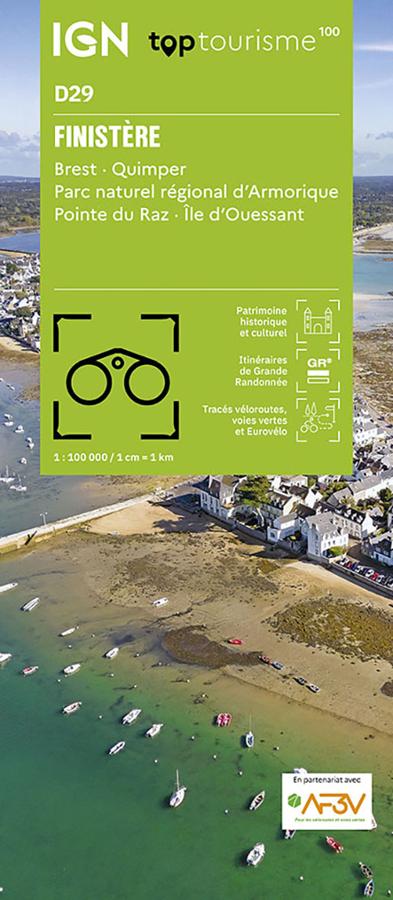
The IGN TOP100 Finistère map is ideal for planning a trip to one of Brittany’s most spectacular departments. It offers a comprehensive overview of the region, featuring rugged coastlines, harbors, islands, rocky headlands, historic towns and villages, greenways, and inland landscapes.
With its 1:100,000 scale, it makes it easy to visualize distances, access routes, and major itineraries. It helps you plan a tour, choose your stopovers, and link multiple sites together in a single day.
It covers key locations such as Brest, Quimper, the Pointe du Raz, and the island of Ouessant. It is a highly practical map for planning a trip that combines hiking, cycling, Breton heritage, coastal scenery, and wide-open spaces.
Hiking, cycling, and sightseeing at the tip of Brittany
Finistère is a prime destination for outdoor enthusiasts. With the Iroise Sea, the Crozon Peninsula, *abers* (estuaries), harbors, beaches, islands, and coastal paths, there are countless opportunities for exploration.
For hikers, this map helps identify hiking trails and major walking areas. It assists in selecting a zone, planning access, and organizing an itinerary. However, for precise trail navigation on the ground, a local IGN TOP25 map remains more suitable.
It is also a valuable planning tool for cyclists. Greenways, secondary roads, and local connections allow you to plan loops, stages, or cycling excursions that take in the coast, the countryside, and Breton villages.
A practical tool for planning your stay in Finistère
The IGN TOP100 Finistère map is particularly useful for maintaining a broad overview of the department. It makes it easy to connect various areas, such as Brest, Quimper, the Pointe du Raz, Ouessant, the Crozon Peninsula, Concarneau, Douarnenez, Roscoff, and the *Pays des Abers*. It perfectly complements a guidebook, GPS track, or trail guide. Its paper format allows you to compare routes, plan alternatives, and gain a better understanding of the area's layout.
Finally, this map is a simple, effective tool for planning a trip to Finistère. It is designed for hikers, cyclists, families, and travelers who want to explore Brittany using a clear, reliable, and easy-to-use resource.
Map highlights:
- IGN TOP100 map dedicated to Finistère
- 1:100,000 scale
- Covers Brest, Quimper, Pointe du Raz, and the island of Ouessant
- Ideal for planning trips on foot, by bike, or by car
- Features tourist sites, hiking trails, and greenways
- Provides a good overview of the coastline, islands, ports, and secondary roads
- Practical for organizing a weekend trip, a nature getaway, or a sightseeing tour
- Useful for exploring the Crozon Peninsula, the *abers* (estuaries), the Iroise Sea, and southern Finistère
- A paper resource that complements GPS devices, apps, or trail guides
- Suitable for travelers, hikers, and cycle tourists
FAQ
What area does the IGN TOP100 Finistère map cover?
It covers the Finistère department, including Brest, Quimper, Pointe du Raz, the island of Ouessant, major coastal areas, towns, villages, and key tourist sites.
Is this map suitable for cycling?
Yes. It allows you to identify greenways, secondary roads, and local connections, making it useful for planning cycling tours in Finistère.
Can it be used for hiking?
Yes. It allows you to visualize hiking trails and major walking areas. However, for precise route-following on the ground, a local IGN TOP25 map is recommended.
What is the scale of this map? The scale is 1:100,000. This means that 1 cm on the map corresponds to 1 km on the ground.
Why choose a TOP100 map for Finistère?
Because it provides an overview of the department. It is handy for planning a trip, connecting various sites, and organizing outings that take in the coastline, islands, ports, hiking trails, greenways, and Breton villages.
Features
Name
IGN TOP100 Map Finistère – Brest, Quimper, Pointe du Raz, and Ouessant Island
Width
11.1 cm
Height
25.5 cm
Weight
0.106 kg
Language
French
Scale
1/100 000
This might interest you
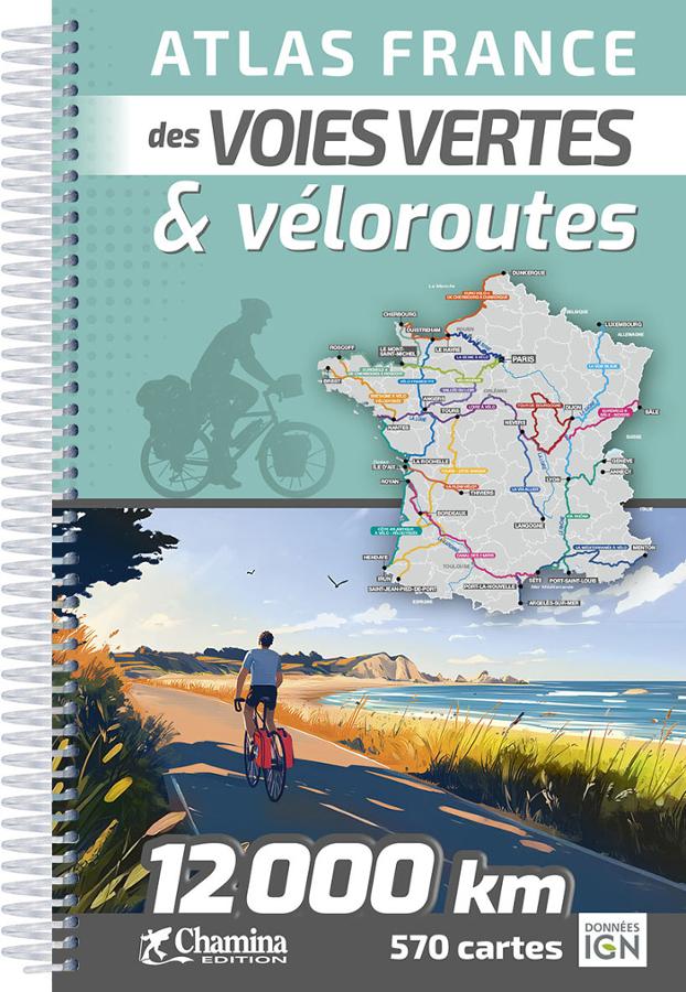
Atlas of the greenways and cycle routes of France - Chamina
The 2026 edition of the Chamina France Atlas of Roads and Cycle Routes. Updated and expanded edition. A guarantee of quality and reliability.
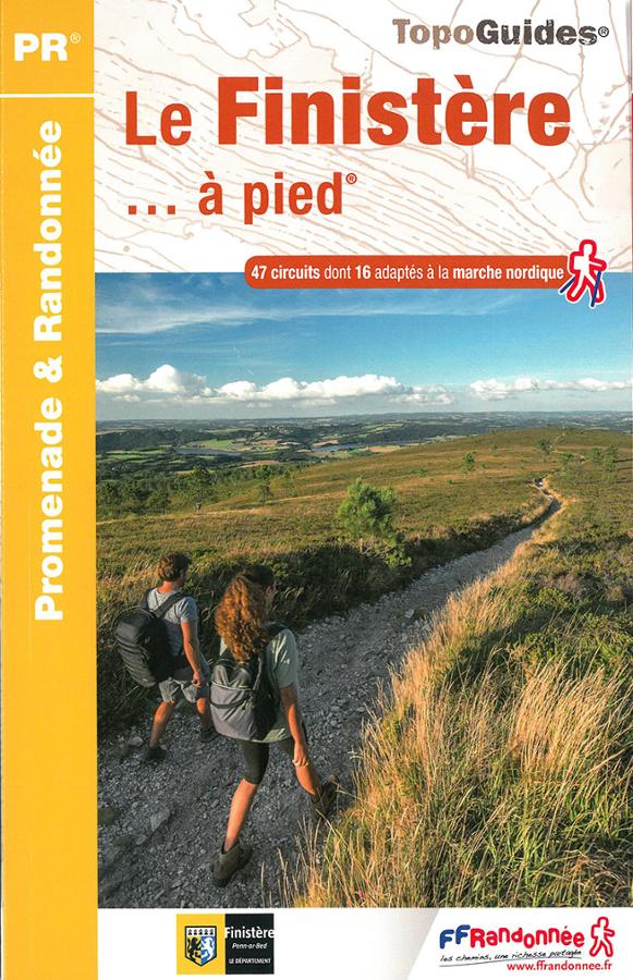
Le Finistère à pied
Topoguide FFRP promenade et randonnée en Finistère avec une sélection de 47 circuits dont 16 adaptés à la marche nordique.
Similar Products
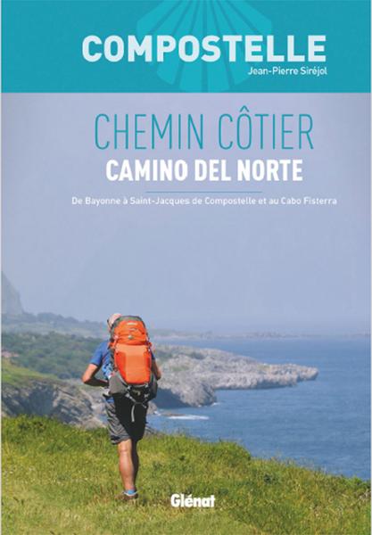
COMPOSTELA - COASTAL PATH - EL CAMINO DEL NORTE
Camino del Norte coastal path, Santiago de Compostela. From Bayonne to Cabo Fisterra - Original path of the Cantabrian coasts. Complete guide: maps, route descriptions, history and heritage, accommodation.
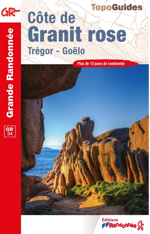
FFRandonnée GR®34 Guidebook – Pink Granite Coast
Plan your hikes along the GR®34—the famous "Customs Officers' Path"—with this FFRandonnée guidebook dedicated to the Pink Granite Coast. Covering the area between Perros-Guirec, Ploumanac’h, Trégastel, and Trébeurden—with its beaches, harbors, pink rock formations, and coastal vistas—this guide accompanies walkers along one of the most beautiful stretches of the Brittany coastline. It is an essential resource for organizing a hike on the GR34, a day trip, or a walking holiday in the Côtes-d’Armor.
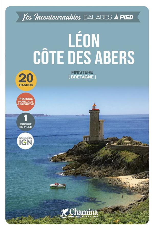
Léon, Côte des Abers - 20 randos
The must-see walks in Finistère, with a selection of 20 hikes between the wild coasts of Ouessant and Abers.