
Description
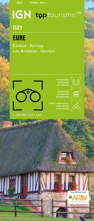
An IGN map for exploring the Eure
The IGN TOP100 Eure map is ideal for planning a trip to Normandy—whether on foot, by bike, or by car. With a 1:100,000 scale (where 1 cm equals 1 km), it makes it easy to visualize distances, access routes, roads, and major areas worth exploring.
This new edition features a practical layout based on the department's boundaries. It serves as a clear resource for planning travel within the Eure, helping you locate towns, villages, natural areas, and tourist attractions.
It is suitable for everyone from weekend travelers to hikers and cyclists looking to plan a more precise route. At a glance, the map helps you understand the landscape and choose which areas to explore.
Hiking, cycling, and greenways in the Eure
The Eure is a delightful department to explore at a leisurely pace. With the Seine, Eure, and Iton valleys, forests, hedgerow landscapes, Norman villages, châteaux, abbeys, and quiet country roads, there are countless opportunities for outings.
For hikers, this map makes it easy to spot hiking trails and major walking areas. It helps with planning outings, selecting a zone, and figuring out access points. However, for precise trail navigation on the ground, a local IGN TOP25 map can be a useful supplement.
This TOP100 map is particularly valuable for cyclists. It incorporates cycling routes developed in partnership with AF3V (France’s association for cycle routes and greenways), making it easy to plan loops, stages, or cycling getaways along the department's dedicated routes.
A practical tool for planning your trip
The IGN TOP100 Eure map is a simple, effective tool for planning your vacation or day trips. It allows you to link multiple sites in a single day, compare routes, and plan alternative paths.
It works perfectly alongside a guidebook, GPS app, or hiking guide. Its paper format remains highly practical for maintaining a broad overview of the department, especially during a touring trip or a cycling outing.
Finally, this map is designed for anyone wishing to discover the Eure department using a reliable, legible, and versatile resource. Whether you are setting out on foot, by bike, or exploring Normandy by car, it simplifies trip planning and encourages you to venture off the main roads.
Map highlights:
- IGN TOP100 map dedicated to the Eure department
- New edition featuring the departmental layout
- Scale: 1:100,000 (1 cm = 1 km)
- Ideal for tourism on foot, by bike, or by car
- Hiking trails and tourist sites marked
- Cycling routes included in partnership with AF3V
- Cycle routes and greenways shown
- Clear overview of roads, villages, and natural areas
- Practical tool for planning a weekend or a longer stay in Normandy
- Useful alongside a GPS, app, or guidebook
FAQ
What area does the IGN TOP100 Eure map cover?
It covers the Eure department in Normandy, including its towns, villages, roads, tourist sites, hiking trails, cycle routes, and greenways.
Is this map suitable for cycling?
Yes. It incorporates cycling routes in partnership with AF3V, specifically the department's cycle routes and greenways.
Can this map be used for hiking?
Yes. It allows you to locate hiking trails and major walking areas. To follow a very precise route on the ground, a local IGN TOP25 map can complement the TOP100.
What is the scale of this map?
The scale is 1:100,000. This means that 1 cm on the map corresponds to 1 km on the ground.
Why choose a TOP100 map for the Eure?
Because it offers a comprehensive overview of the department. It is useful for planning a trip, organizing cycling routes, locating tourist sites, and planning outings on foot or by car.
Features
Name
IGN TOP100 Map Eure – Évreux, Vernon and the Seine Valley
Width
11.1 cm
Height
25.5 cm
Weight
0.104 kg
Language
French
Scale
1/100 000
This might interest you

Similar Products
15 escapades sur voies vertes à moins de 2 heures de Paris
Passez un weekend à slow vélo à grâce à 15 itinéraires vélo en pleine nature, tout public. Toutes les infos utiles, cartes, adresses, accès train pour partir en toute sérénité.
Alpes du Sud - 40 belles balades
Guide to 40 beautiful nature walks in the Southern Alps for all levels.
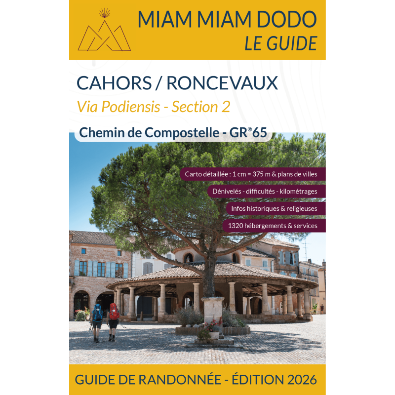
Chemin de Compostelle, Cahors/Roncevaux GR 65 - section 2
Guide Miam Miam Dodo on the Camino de Santiago between Cahors and Roncesvalles on the GR65 via the via Podiensis section 2. Hiking guide with maps and historical information.