
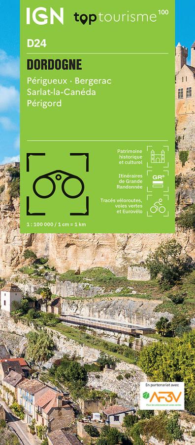

Description
An IGN map for exploring the Dordogne
The IGN TOP100 Dordogne map is ideal for planning a trip to one of the most heritage-rich departments in the Southwest. It provides a comprehensive view of the region, making it easier to plan travel between towns, villages, valleys, natural sites, and major tourist attractions.
With its 1:100,000 scale, it offers a clear sense of distances. This helps in planning itineraries, identifying back roads, and linking multiple sites within a single day.
It is suitable for a stay based in Périgueux, a getaway to Bergerac, exploring Sarlat-la-Canéda, or a nature-focused tour of the Dordogne Valley, the Vézère Valley, the Périgord Noir, or the Périgord Vert.
Hiking, cycling, and heritage in Périgord
The Dordogne is best discovered on foot or by bike. With a landscape featuring country lanes, valleys, cliffs, forests, *bastides* (fortified towns), castles, classified villages, and rivers, there are countless outing options.
For hikers, this map helps identify major hiking areas and key routes. It assists in choosing a zone, planning access points, and organizing a walking schedule. However, for precise trail navigation on the ground, a local IGN TOP25 map remains more suitable.
It is also highly useful for cyclists, allowing them to visualize minor roads, valleys, gentle terrain, and connections between villages. It serves as a great tool for planning a cycling loop, a touring stage, or a more leisurely exploration of the Périgord.
A practical tool for planning your trip
The IGN TOP100 Dordogne map is particularly valuable for travelers wishing to experience a variety of settings during a single trip. You can plan a day centered on castles, a walk in the Dordogne Valley, a cave visit, a bike ride, or a village tour.
It complements guidebooks, GPS tracks, and apps perfectly. Its paper format offers a comprehensive overview of the department. You can compare different routes, plan alternatives, and gain a better understanding of the road network and the landscape.
Finally, this map is a simple, effective tool for exploring the Dordogne at your own pace. It is designed for hikers, cyclists, families, and travelers looking for a region rich in culture, gastronomy, heritage, and outdoor activities.
Map Highlights :
- IGN TOP100 map dedicated to the Dordogne
- 1:100,000 scale
- Ideal for planning trips on foot, by bike, or by car
- Provides a great overview of the area around Périgueux, Bergerac, and Sarlat
- Useful for locating secondary roads, valleys, forests, villages, and tourist sites
- A practical aid for organizing cycling tours in the Périgord region
- Helps plan hikes, nature getaways, and sightseeing routes
- Great for exploring the Dordogne and Vézère valleys
- A useful complement to GPS devices, apps, or hiking guidebooks
- Suitable for travelers, hikers, and cycle tourists
FAQ
What area does the IGN TOP100 Dordogne map cover?
It covers the Dordogne department, including Périgueux, Bergerac, Sarlat-la-Canéda, and Nontron, as well as the valleys, forests, villages, and major tourist sites of the Périgord region.
Is this map suitable for cycling?
Yes. It allows you to visualize secondary roads, local connections, and major cycling areas, making it useful for planning cycling tours in the Dordogne.
Can it be used for hiking?
Yes. It helps identify major hiking areas and main routes. However, for precise on-the-ground navigation, it is best used alongside a local IGN TOP25 map.
What is the scale of this map? The scale is 1:100,000. This means that 1 cm on the map corresponds to 1 km on the ground.
Why choose a TOP100 map for the Dordogne?
Because it provides an overview of the department. It is practical for planning a trip, connecting various sites, and organizing outings that take in valleys, castles, villages, caves, forests, and country roads.
Features
Name
IGN TOP100 Map: Dordogne – Périgueux, Bergerac, and Sarlat
Width
11 cm
Height
25.5 cm
Weight
0.107 kg
Language
French
Scale
1/100 000
This might interest you

Carte IGN TOP 25 - Les Eyzies - Dordogne Valley and the Vézère
Plan your hikes in the Dordogne with the IGN TOP 25 1936ET Les Eyzies-de-Tayac-Sireuil map. At a scale of 1:25,000, it covers the Dordogne and Vézère valleys, around Les Eyzies, Saint-Cyprien, Le Bugue, and Beynac. Trails, terrain features, waterways, villages, tourist sites, and other information will help you plan your outings with precision.

La Dordogne à vélo - IGN
IGN cycling map of the Dordogne at 1/120 000 with cycling routes and tourist information.
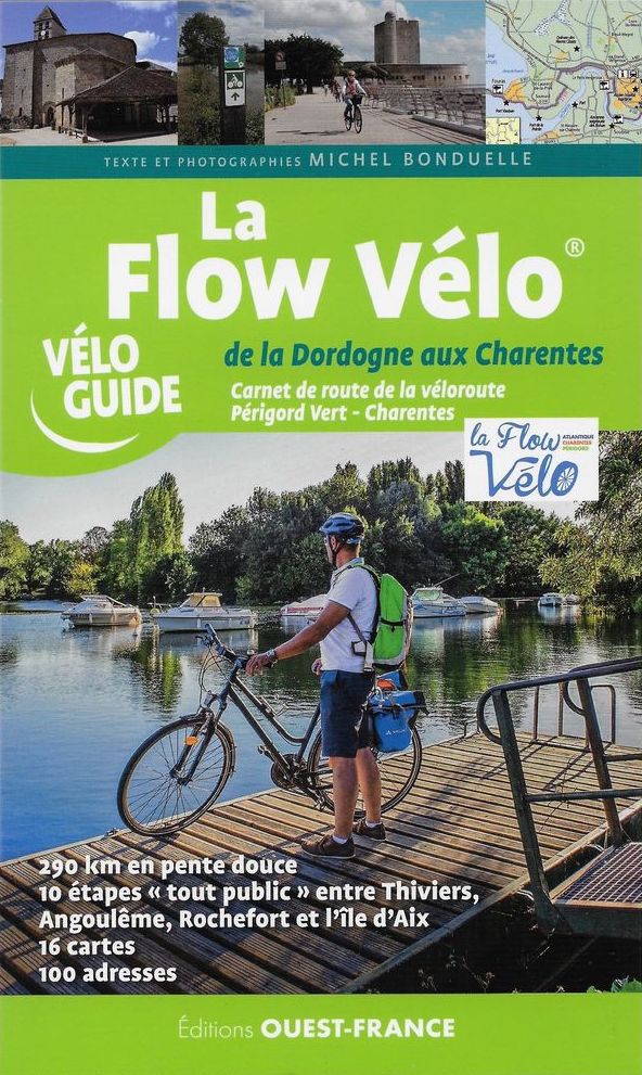
La Flow Vélo de la Dordogne à l'Océan
Guide vélo sur la Flow vélo, de la Dordogne à l'Océan. Carnet de route de 290 km de la véloroute Périgord Vert-Charentes.