Description
An IGN map for exploring Charente-Maritime
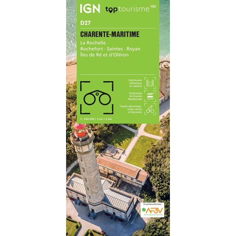
The IGN TOP100 Charente-Maritime map is ideal for planning a trip to the Atlantic coast and the Charente hinterland. It provides an overview of the entire department, making it easier to plan travel between towns, islands, marshes, beaches, ports, and villages.
With its 1:100,000 scale, it offers a comprehensive view of the region, helping you gauge distances and identify main roads, secondary routes, and key areas to explore. It is suitable for car trips, cycling getaways, and hiking holidays alike.
It is particularly useful for planning an itinerary around La Rochelle, Rochefort, Saintes, Royan, Marennes, the Île de Ré, the Île d’Oléron, or the gateway to the Marais Poitevin. This single map allows you to create a complete itinerary combining nature, heritage, and the coastline.
Cycling, hiking, and exploring the Atlantic coast
Charente-Maritime is perfect for eco-friendly travel. With a network of cycle paths, quiet roads, greenways, coastal trails, marshes, and villages, there are countless outing options.
For cyclists, the map helps identify cycling routes, local connections, and roads well-suited for exploring the department. It is handy for planning a loop around La Rochelle, a ride across the Île de Ré, an excursion on Oléron, or a route along the estuary.
For walkers, it helps locate GR® long-distance trails, major natural areas, and spots ideal for strolling. While it does not replace the IGN TOP25 map for precise trail navigation, it serves as an excellent starting point for choosing a hiking area and planning how to get there.
A practical tool for planning your trip
The IGN TOP100 Charente-Maritime map is particularly valuable for travelers who wish to experience a variety of settings and atmospheres during a single trip. You can easily transition from a coastal stroll to a heritage tour, then head to a marsh, an island, or a quiet country road.
It serves as an excellent complement to a guidebook, GPS app, or trail guide. Its paper format offers a comprehensive overview of the department, allowing you to compare routes and easily plan alternative options.
Finally, this map helps you plan a more flexible trip. It allows you to visualize access routes, towns, natural sites, and major tourist hubs before you set off. It is a simple, clear, and reassuring tool for traveling on foot, by bike, or by car in Charente-Maritime.
Map highlights:
- IGN TOP100 map dedicated to Charente-Maritime
- 1:100,000 scale
- Ideal for planning trips on foot, by bike, or by car
- Provides a great overview of the coast, islands, marshes, and hinterland
- Covers the areas of La Rochelle, Rochefort, Saintes, Royan, Ré, and Oléron
- Features GR® trails, local roads, and major routes
- Useful for planning cycling tours and sightseeing excursions
- Handy for discovering beaches, ports, villages, marshes, and Romanesque heritage
- Paper format complements GPS devices and apps
- Suitable for families, hikers, cyclists, and road-trippers
FAQ
What area does the IGN TOP100 Charente-Maritime map cover?
It covers the Charente-Maritime department, including major tourist areas: La Rochelle, Rochefort, Saintes, Royan, Île de Ré, Île d’Oléron, the marshes, the coast, and the hinterland.
Is this map suitable for cycling?
Yes. It shows roads, local connections, and cycling routes, making it useful for planning cycling trips in Charente-Maritime.
Can it be used for hiking?
Yes. It helps identify GR® trails and major walking areas. To follow a route precisely on the ground, it is best to supplement it with a local IGN TOP25 map.
What is the scale of this map?
The scale is 1:100,000. This means that 1 cm on the map corresponds to 1 km on the ground.
Why choose a TOP100 map for Charente-Maritime?
Because it provides an overview of the department. It is useful for planning a trip, connecting various sites, and preparing outings that take in the coast, islands, marshes, heritage towns, and villages.
Features
Name
IGN TOP100 Map Charente-Maritime – La Rochelle, Rochefort, Saintes, and Royan
Width
11 cm
Height
25.5 cm
Weight
0.107 kg
Language
French
Scale
1/100 000
This might interest you

Bike Rides on the Oléron Island
A comprehensive guide to discovering the island's unspoilt coastal landscapes and picturesque villages. With its well-maintained cycle paths and varied routes, cyclists can peacefully explore the sandy beaches, salt marshes and pine forests characteristic of this island on the Atlantic coast.
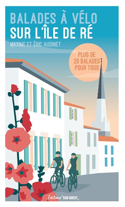
Balades à vélo sur l'île de Ré
Discover Île de Ré by bike with this guide to 20 must-do routes. Between salt marshes and charming villages, enjoy 100 km of cycle paths accessible to all. Ideal for outings with family or friends!