
Description
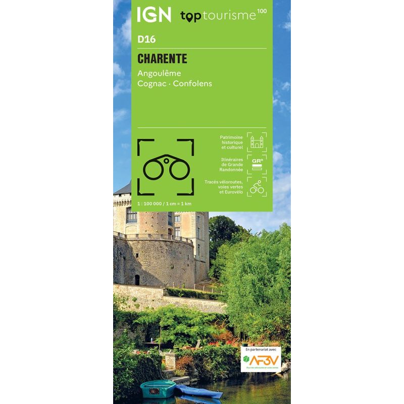
An IGN map for discovering Charente
The IGN TOP100 Charente map is ideal for planning a trip to a department that is rural, rich in heritage, and delightful to explore. It provides an overview of the region, making it easier to plan your stops and travel routes.
It helps locate key areas in Charente—such as Angoulême, Cognac, "villages of character," valleys, forests, and quiet country roads. As such, it is suitable for motorists, cyclists, and hikers alike who wish to plan their itinerary before setting off.
With its 1:100,000 scale, this map offers a broad perspective. It is particularly useful for linking different areas in a single day, planning a tour, or identifying access routes to the department's natural and cultural sites.
Cycling, hiking, and Charente’s heritage
Charente is best discovered on foot or by bike. With the Charente Valley, the hillsides of the Cognac region, stone villages, Romanesque churches, country lanes, and cycle paths, there are countless opportunities for outings.
This map allows you to identify GR® trails, hiking routes, local roads, and useful connections between towns and villages. For cyclists, it is a valuable tool for planning routes around Angoulême or Cognac, or along the Charente Valley.
It can also be used to plan a stage of major cycling routes that cross or run alongside the department—such as La Flow Vélo or La Scandibérique—depending on the area being explored. It thus provides a solid foundation for planning a touring trip or a day excursion.
A practical tool for planning your stay
This TOP100 map is useful for anyone wishing to explore Charente beyond the main highways. It helps you locate minor roads, villages, tourist sites, natural areas, and spots perfect for leisurely outings.
It serves as an excellent complement to a guidebook, GPS track, or hiking guide. It provides a comprehensive overview that digital tools do not always offer as clearly. This allows you to compare routes, plan alternatives, or organize a more flexible trip.
Finally, its paper format is highly practical for trip planning, jotting down route ideas, or maintaining a broad view of the department while traveling.
Map highlights:
- IGN TOP100 map covering the Charente department
- Ideal for planning trips on foot, by bike, or by car
- 1:100,000 scale
- Provides a good overview of the department
- Covers the Angoulême and Cognac areas and the Charente Valley
- Shows GR® trails, local roads, and hiking routes
- Useful for planning cycling tours and sightseeing excursions
- Handy for discovering heritage sites, vineyards, villages, and river landscapes
- A paper resource that complements GPS devices or apps
- Suitable for travelers, hikers, and cycle tourists
FAQ
What area does the IGN TOP100 Charente map cover?
It covers the Charente department, including Angoulême, Cognac, the Charente Valley, villages, secondary roads, and major tourist sites.
Is this map suitable for cycling?
Yes. It allows you to visualize roads, local connections, and cycling routes useful for planning cycle tours in Charente.
Can it be used for hiking?
Yes. It helps identify GR® trails and major hiking areas. However, for precise on-the-ground route navigation, a local IGN TOP25 map is more suitable.
What is the map's scale?
The scale is 1:100,000. This means 1 cm on the map corresponds to 1 km on the ground.
Why choose a TOP100 map for Charente?
Because it offers a comprehensive overview of the department. It is practical for organizing a trip, connecting different sites, planning bike rides, and identifying areas for excursions.
Features
Name
IGN TOP100 Map: Charente – Angoulême, Cognac, and the Charente Valley
Width
11 cm
Height
25.5 cm
Weight
0.107 kg
Language
French
Scale
1/100 000