
Description
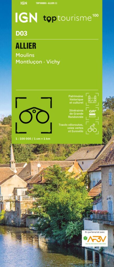
An IGN map for exploring the Allier
The IGN TOP100 Allier map is ideal for planning a trip to this department in the heart of Auvergne. It provides a comprehensive view of the area, making it easier to plan travel between historic towns, villages, country roads, valleys, and natural sites.
With its 1:100,000 scale, it offers a clear view of distances. This helps in planning itineraries, identifying secondary roads, and linking multiple sites within a single day.
It covers key locations such as Moulins (the historic capital of the Bourbonnais), Montluçon (a medieval and industrial town), and Vichy (famous for its thermal spa heritage and Belle Époque elegance). It is therefore a highly practical map for planning a trip that combines nature, culture, and sightseeing.
Hiking, cycling, and tourism in the Bourbonnais
The Allier is best explored on foot, by bike, or by car. With its mix of hedgerow landscapes, forests, rivers, backroads, villages, castles, and spa towns, there are countless opportunities for outings.
For hikers, this map helps identify hiking trails and major walking areas. It assists in choosing a zone, planning access points, and organizing an itinerary. However, for precise trail navigation on the ground, a local IGN TOP25 map remains more suitable.
It is also a valuable planning tool for cyclists. Cycle routes, secondary roads, and local connections allow for the creation of loops, cycle-touring stages, or more leisurely excursions through a landscape of heritage sites, countryside, and valleys.
A practical tool for planning your trip
The IGN "Top Tourisme" D03 map for the Allier is particularly useful for maintaining an overview of the department. It makes it easy to connect various areas: Moulins, Montluçon, Vichy, the Bourbonnais landscapes, the Allier valleys, and the region's characterful villages.
It serves as an excellent complement to a guidebook, GPS track, or mobile app. Indeed, its paper format makes it easy to compare routes, plan alternatives, and gain a better understanding of the area's layout.
Finally, this map is a simple, effective tool for planning a trip to the Allier department. It is designed for hikers, cyclists, families, and travelers who want to explore the region using a clear, reliable, and easy-to-read guide.
Map highlights:
- IGN TOP100 map covering the Allier department
- Scale: 1:100,000
- Reference: D03
- Covers Moulins, Montluçon, and Vichy
- Tourist sites, hiking trails, and cycle routes all on one map
- Ideal for planning trips on foot, by bike, or by car
- Useful for organizing a weekend getaway, a nature trip, or a sightseeing tour
- Provides a good overview of secondary roads, valleys, villages, and heritage sites
- Practical paper format that complements GPS devices or apps
- Suitable for travelers, hikers, and cycle tourists
FAQ
What area does the IGN TOP100 Allier map cover?
It covers the Allier department, including Moulins, Montluçon, and Vichy, as well as the valleys, villages, secondary roads, and major tourist sites.
Is this map suitable for cycling?
Yes. It allows you to identify cycle routes, secondary roads, and local connections, making it useful for planning cycling tours in the Allier.
Can it be used for hiking?
Yes. It allows you to visualize hiking trails and major walking areas. However, for precise route-following on the ground, a local IGN TOP25 map is recommended.
What is the scale of this map?
The scale is 1:100,000. This means that 1 cm on the map corresponds to 1 km on the ground.
Why choose a TOP100 map for the Allier?
Because it provides a comprehensive overview of the department. It is convenient for planning a trip, connecting various sites, and organizing outings that take in hedgerow landscapes, valleys, spa towns, villages, and country roads.
Features
Name
IGN TOP100 Map Allier – Moulins, Montluçon, Vichy
Width
11.1 cm
Height
25.5 cm
Weight
0.106 kg
Language
French
Scale
1/100 000
This might interest you
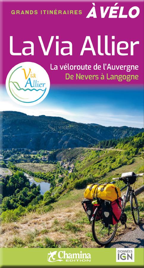
La Via Allier - la véloroute de l'Auvergne
Great cycling itineraries on the Via Allier, the Auvergne cycle route from Nevers to Langogne, with 455 km of routes through the Haut Allier gorges.
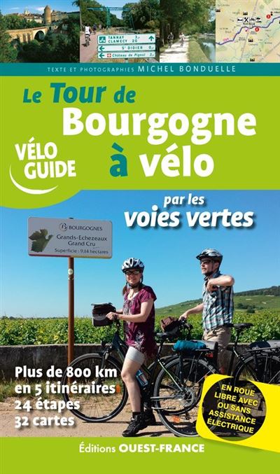
Burgundy by the Greenways
Burgundy greenway cycling guide: 900 km of cycle routes, 22 stages without elevation gain, maps, accommodation and tips for discovering Burgundy by bike.
Similar Products
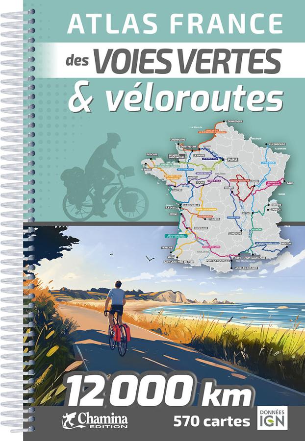
Atlas of the greenways and cycle routes of France - Chamina
The 2026 edition of the Chamina France Atlas of Roads and Cycle Routes. Updated and expanded edition. A guarantee of quality and reliability.
La Via Allier - la véloroute de l'Auvergne
Great cycling itineraries on the Via Allier, the Auvergne cycle route from Nevers to Langogne, with 455 km of routes through the Haut Allier gorges.