
Description
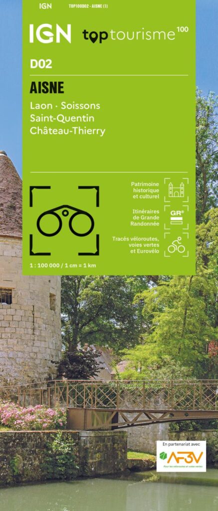
An IGN map for exploring the Aisne
The IGN TOP100 Aisne map is perfect for planning a trip to this department, which is rich in heritage, rolling landscapes, and routes for discovery. It offers an overview of the region, making it easier to plan travel between towns, villages, valleys, forests, and historical sites.
With its 1:100,000 scale, it allows for easy visualization of distances and major routes. It helps you plan an itinerary, schedule stops, and identify the secondary roads best suited for a leisurely exploration of the department.
It covers key locations such as Laon, famous for its medieval city; Soissons, a "Town of Art and History"; Saint-Quentin, a major hub in the north of the department; and Château-Thierry, the gateway to the Marne Valley.
Hiking, cycling, and tourism in the Aisne
This map is particularly useful for travelers who wish to combine walking, cycling, sightseeing, and country drives. It brings together hiking trails, cycle routes, tourist sites, and the local road network on a single map.
For hikers, it helps identify major walking areas and pedestrian routes across the department. It assists in choosing a zone, planning access points, and organizing an outing schedule. However, for precisely following a specific trail on the ground, a local IGN TOP25 map remains more suitable.
For cyclists, it serves as an excellent planning tool. Cycle routes and secondary roads allow you to devise loops, stages, or excursions taking in valleys, villages, forests, and heritage sites.
A practical tool for planning your trip
The IGN "Top Tourisme" map for the Aisne is ideal for maintaining a broad overview of the department. It makes it easy to connect several areas in a single day—such as Laon, Soissons, Saint-Quentin, Château-Thierry, the Thiérache region, the Chemin des Dames, and the Aisne or Marne valleys. It serves as an excellent complement to a guidebook, GPS app, or trail guide. Its paper format allows you to compare multiple routes, plan alternative paths, and gain a better understanding of the area's layout.
Finally, this map is a simple, effective tool for planning a trip to the Aisne department. It is designed for hikers, cyclists, families, and travelers who enjoy exploring with a clear map in hand.
Map highlights:
- IGN TOP100 map covering the Aisne department
- Scale: 1:100,000
- Reference: D02
- Covers Laon, Soissons, Saint-Quentin, and Château-Thierry
- Tourist sites, hiking trails, and cycle routes all on one map
- Ideal for planning trips on foot, by bike, or by car
- Useful for organizing a weekend getaway, a nature trip, or a sightseeing tour
- Provides a good overview of secondary roads, valleys, villages, and heritage sites
- Practical paper format to complement GPS devices or apps
- Suitable for travelers, hikers, and cycle tourists
FAQ
What area does the IGN TOP100 Aisne map cover?
It covers the Aisne department, including Laon, Soissons, Saint-Quentin, Château-Thierry, as well as the valleys, villages, and major tourist sites.
Is this map suitable for cycling?
Yes. It allows you to identify cycle routes, secondary roads, and local connections, making it useful for planning cycling tours in the Aisne.
Can it be used for hiking?
Yes. It allows you to visualize hiking trails and major walking areas. However, for precise route-following on the ground, a local IGN TOP25 map is recommended.
What is the scale of this map?
The scale is 1:100,000. This means that 1 cm on the map corresponds to 1 km on the ground. Why choose a TOP100 map for the Aisne department?
Because it provides a comprehensive overview of the area. It is handy for planning a trip, connecting various sites, and organizing outings that take in heritage sites, valleys, villages, forests, and country roads.
Features
Name
IGN TOP100 Map Aisne – Laon, Soissons, Saint-Quentin, Château-Thierry
Width
11.1 cm
Height
25.5 cm
Weight
0.107 kg
Language
French
Scale
1/100 000
This might interest you
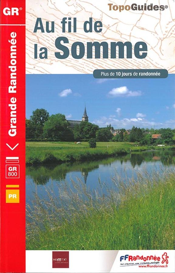
Au fil de la Somme - GR800
Topoguide de randonnée FFRP au fil de la Somme sur le GR800 depuis la source du fleuve picard dans l'Aisne jusqu'à la mer. Outil pratique avec informations pratiques et cartes IGN.
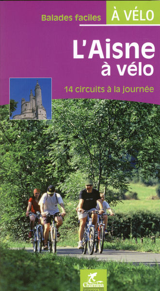
L'Aisne à vélo
14 day tours to discover the Aisne cycling. Surroundings of St Quentin, Vervins, Laon, Soissons, Chateau-Thierry, Villiers-Cotterets Coucy-le-Château, Guise, Hirson ...
Similar Products
L'Aisne à vélo
14 day tours to discover the Aisne cycling. Surroundings of St Quentin, Vervins, Laon, Soissons, Chateau-Thierry, Villiers-Cotterets Coucy-le-Château, Guise, Hirson ...
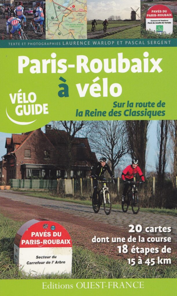
Paris-Roubaix à vélo
From Paris to Roubaix by bike. Oise, Aisne, Nord.
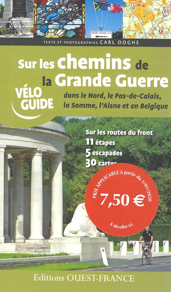
Sur les Chemins de la Grande Guerre
V?loguide sur les Chemins de la Grande Guerre dans le Nord, le Pas-de-Calais, la Somme, l'Aisne et en Belgique.