

Description
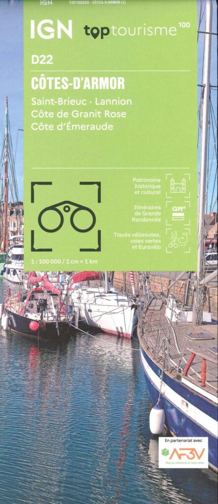
Tourism in Côtes-d’Armor by bike and on foot
The Côtes-d'Armor, a delight for hikers and cyclists. This department reveals exotic landscapes between land and sea. Explore the famous customs officers' path (GR34), offering breathtaking views of the Plouha cliffs and the Pink Granite Coast. By bike, travel the greenway from Saint-Brieuc to Plouha, crossing green valleys and charming Breton villages. The marked routes run along wild beaches, majestic lighthouses and small, colorful ports. Whether on foot or by bike, every detour in the Côtes-d'Armor reserves unforgettable discoveries.
This card includes:
- Historical and cultural heritage information
- Long-distance hiking routes: GR34, GR37 and GR38
- Cycle routes, greenways and Eurovélos: Eurovelo 4 - La vélomaritime
Everyone has their own route with route ideas for diverse and varied nature activities.
Features
Name
Carte Côtes-d'Armor - Côte de Granit Rose, Côte d'Emeraude IGN TOP 100
Length
11.5 cm
Height
25 cm
Weight
0.1 kg
Language
English, French
This might interest you
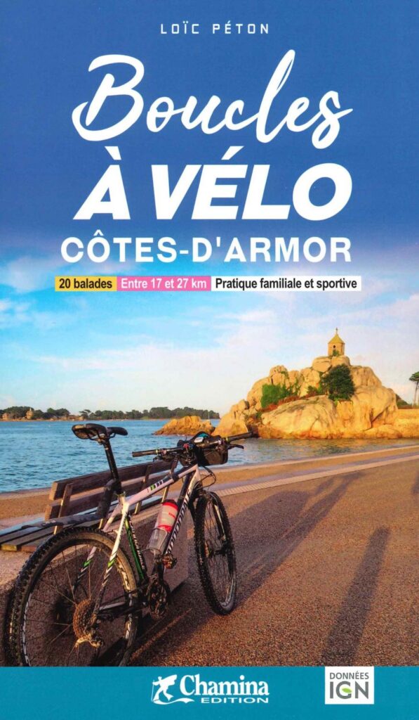
Cycling Loops in Côtes-d'Amor
60 cycling loops, from 17 to 27 km in Côtes-d'Armor, with detailed IGN maps, some of which follow the greenways. Explore Lannion, Saint Brieux or Dinan.
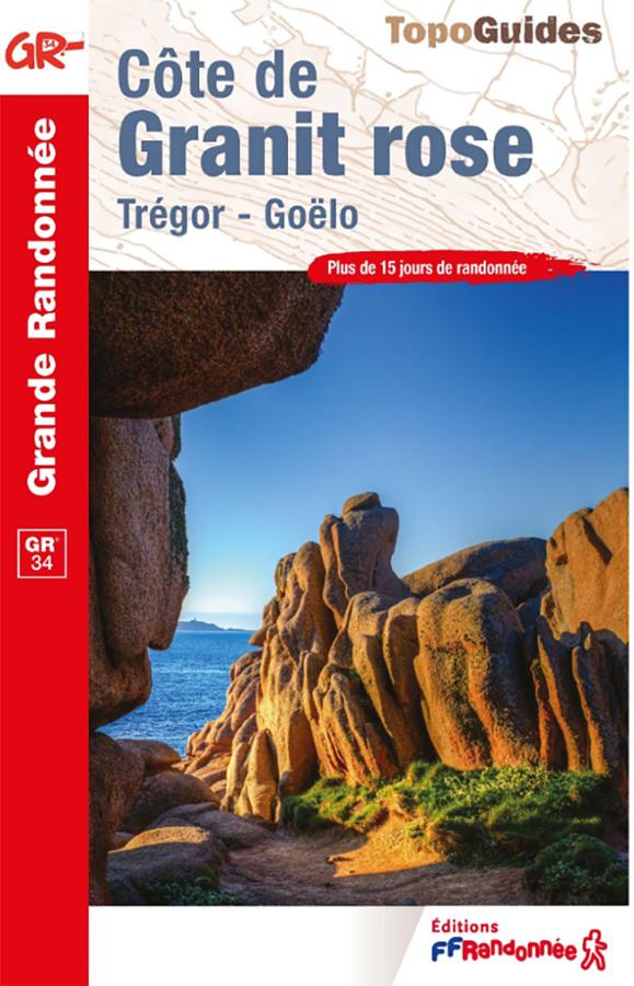
FFRandonnée GR®34 Guidebook – Pink Granite Coast
Plan your hikes along the GR®34—the famous "Customs Officers' Path"—with this FFRandonnée guidebook dedicated to the Pink Granite Coast. Covering the area between Perros-Guirec, Ploumanac’h, Trégastel, and Trébeurden—with its beaches, harbors, pink rock formations, and coastal vistas—this guide accompanies walkers along one of the most beautiful stretches of the Brittany coastline. It is an essential resource for organizing a hike on the GR34, a day trip, or a walking holiday in the Côtes-d’Armor.
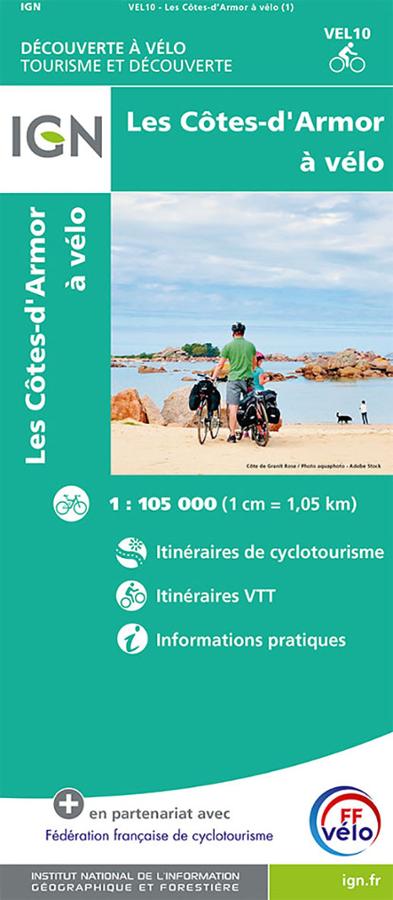
Les Côtes-d'Armor à vélo - carte IGN
Carte IGN au 1/105 000 sur les Côtes-d'Armor à vélo avec itinéraires de cyclotourisme, VTT et informations pratiques.