
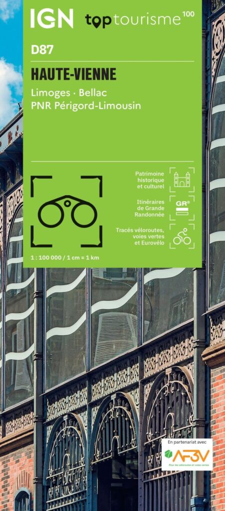


Description
Tourism in the Haute-Vienne department on foot, by bike or by car
The new IGN TOP100 map of Haute-Vienne invites you to discover the riches of this French department on foot (GR), by bike or by car.
The bike routes have been created in partnership with the AF3V association (VéloRoutes et Voies Vertes de France).
This map includes :
- Historical and cultural heritage information
- Detailed relief : The contour lines help you to understand the terrain and choose your routes according to your level.
- Tourist information: Find accommodation, water points, picnic areas...
- To each his own with route ideas for diverse and varied nature activities.
Features :
- Edition : 2024
- Language: French, English, German
- Dimensions flat : 121 X 100 cm
- Dimensions folded : 25 X 11.1 cm
- Printing : Double-sided
- Scale : 1/100 000
- Weight : 0.100 kgs
- Publisher : IGN
Features
Name
Haute-Vienne Map - Limoges, Bellac, Périgord Limousin Regional Nature Park (IGN TOP 100)
Length
25 cm
Width
11 cm
Height
0.5 cm
Weight
0.11 kg
Language
French English German
Publishers
IGN
Scale
1/100 000
Type
Map
This might interest you
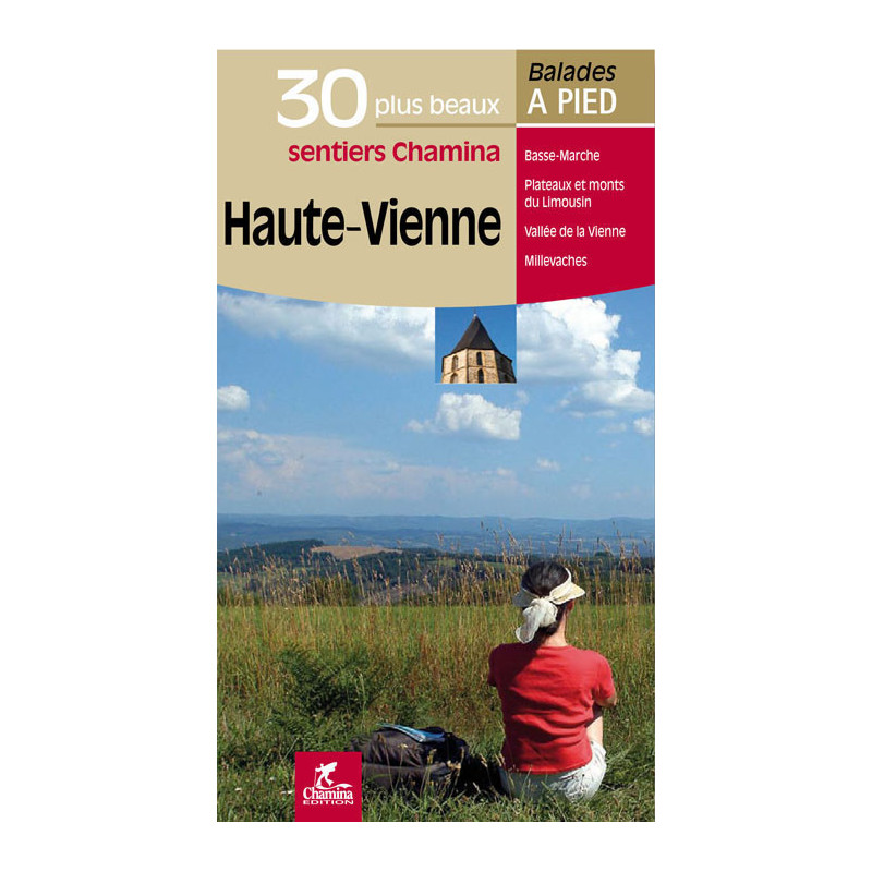
Haute-Vienne, les 30 plus beaux sentiers
Ce guide réunit les 30 plus belles randonnées à faire en Haute-Vienne de la Basse-Marche au plateau des Millevaches.
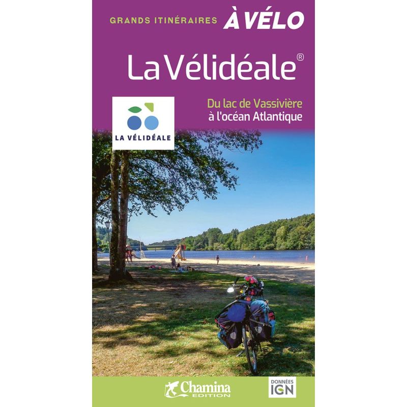
The Vélidéale, from Lake Vassivière to the Atlantic - Chamina guide
Plan your trip on La Vélidéale with this Chamina guide dedicated to a 670 km cycling route in the heart of France, from Lake Vassivière to Saint-Nazaire. Maps based on IGN (French National Geographic Institute) data, step-by-step descriptions, accommodations, recommended places to eat, cycling services, and practical information accompany cyclists throughout the journey.