
Description
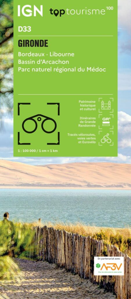
IGN TOP 100 Map – Gironde (D33): Bordeaux, Libourne, Arcachon Basin, Médoc Regional Nature Park
As the largest department in metropolitan France, the Gironde boasts an incredible diversity of landscapes: the heritage-listed quays of Bordeaux, the majestic estuary, the vineyard rows of Médoc and Saint-Émilion, the ocean beaches of the Côte d'Argent, and the calm waters of the Arcachon Basin, overlooked by the Dune du Pilat. To connect all these treasures, the IGN TOP 100 map of the Gironde is the ideal exploration companion, whether you are planning a wine-tourism trip, a coastal getaway, or a long-distance cycling tour.
Published at a scale of 1:100,000 (1 cm = 1 km), this map strikes the perfect balance between a broad overview and precise detail. It is the ideal scale for visualizing a complete itinerary, linking multiple stages, and identifying both major routes and small backroads at a glance.
Three ways to explore the Gironde:
- By bike: cycling routes are marked in partnership with the AF3V (France’s network of cycle routes and greenways). It offers the chance to follow the Vélodyssée along the Atlantic, the Canal des 2 Mers, or the shaded paths of the Arcachon Basin.
- On foot: long-distance hiking trails and marked paths crisscross the Landes forest, vineyards, and estuary banks. Contour lines help you gauge the terrain for each outing.
- By car: ideal for a wine route tour taking in Médoc, Blaye, and the Libourne area, or a drive between Bordeaux and the coast.
A map packed with practical information. Beyond just road layouts, it highlights historical and cultural heritage sites, remarkable natural areas, and useful on-the-ground services such as accommodation, water points, and picnic areas. Everything you need to plan your itinerary and improvise breaks at your own pace. Ideas for themed routes round out the map, helping to guide your choice of outdoor activities.
Technical specifications:
- Publisher: IGN
- Edition: 2024
- Scale: 1:100,000
- Languages: French, English, German
- Printing: Double-sided
- Unfolded dimensions: 121 × 100 cm
- Folded dimensions: 25 × 11.1 cm
- Weight: 100 g
- ISBN: 9782758556411
Lightweight and easy to fold, it slips easily into a bag, backpack, or glove compartment, accompanying you from the Médoc vineyards to the beaches of the Arcachon Basin—ensuring you never lose your way.
Features
Name
Gironde Map – Bordeaux, Libourne, Arcachon Basin, Médoc Regional Nature Park (IGN TOP100)
Length
25 cm
Width
11 cm
Height
0.5 cm
Weight
0.108 kg
Language
French
Publishers
IGN
Scale
1/100 000
Type
Map
This might interest you
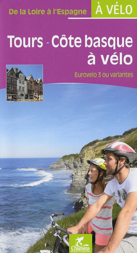
De Tours à la Côte Basque à vélo, Eurovelo 3
Second guide along the Eurovelo 3, from Tours to the Basque coast.
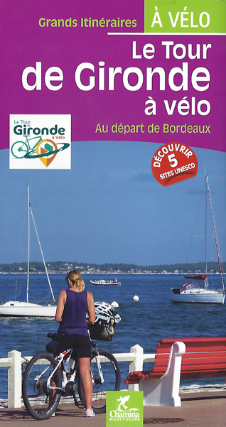
Le tour de Gironde à vélo
Le tour de Gironde à vélo aux éditions Chamina, présente 21 étapes et 5 escapades entièrement repérées à vélo entre Bordeaux, le Bassin d'Arcachon, Les Landes ou encore l'Atlantique...
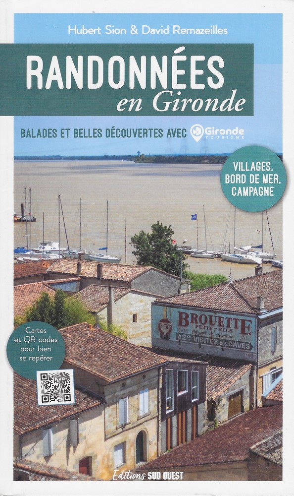
Randonnées en Gironde
Guide de 13 randonnées à pied en Gironde con?u avec Gironde Tourisme avec d?couvertes historiques, paysagères et archéologiques.