
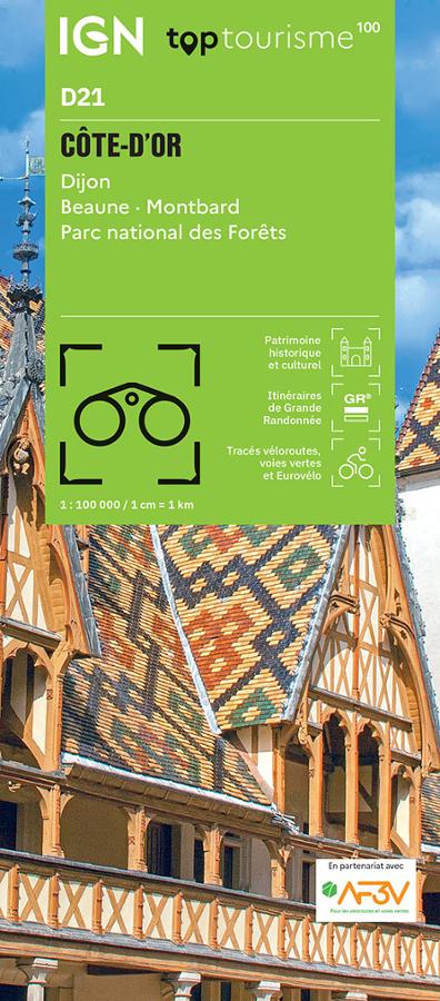

Description
An IGN map for exploring the Côte-d’Or
The IGN TOP100 Côte-d’Or map is ideal for planning a trip to the heart of Burgundy. It provides a comprehensive view of the entire department, making it easier to plan travel between historic towns, vineyards, villages, forests, and valleys.
With its 1:100,000 scale, it offers a clear sense of distances. This helps in planning itineraries, identifying back roads, and linking multiple sites within a single day.
It is suitable for a stay around Dijon, a getaway to Beaune, a tour of the vineyards, or a nature-focused trip to the Auxois, Châtillonnais, or Morvan (Côte-d’Or section) regions.
Hiking, cycling, and Burgundian heritage
The Côte-d’Or is best explored on foot or by bike. With its valleys, limestone plateaus, vineyards, forests, canals, and character-filled villages, there are countless outing options.
For hikers, this map helps identify major hiking areas, GR® long-distance trails, and paths crossing the department. It assists in choosing an area, planning access points, and organizing a walking schedule. However, for precise on-the-ground trail navigation, a local IGN TOP25 map remains more suitable.
It is also highly useful for cyclists. It allows you to visualize minor roads, cycling routes, valleys, and connections between towns, villages, and tourist sites. It serves as an excellent tool for planning a day trip, a loop tour in Burgundy, or a cycling holiday.
A practical tool for planning your trip to Burgundy
The IGN TOP100 Côte-d’Or map is particularly appealing to travelers who wish to experience a variety of settings. You can plan a visit to Dijon, head to the vineyards, explore Beaune, and then continue on to more rural or natural areas.
It complements guidebooks, GPS tracks, and apps perfectly, as its paper format provides a comprehensive overview of the region. You can compare various routes, plan alternatives, or gain a better understanding of the road network and the landscape.
Ultimately, this map is a simple, effective tool for planning a trip to the Côte-d’Or. It is designed for hikers, cyclists, families, and travelers who enjoy exploring an area with a clear visual aid at hand.
Map highlights:
- IGN TOP100 map covering the Côte-d’Or
- 1:100,000 scale
- Ideal for planning trips on foot, by bike, or by car
- Provides a good overview of the area around Dijon, Beaune, and the vineyards
- Useful for identifying secondary roads, valleys, villages, and tourist sites
- Shows GR® trails, major routes, and hiking areas
- Practical for organizing cycling tours in Burgundy
- A great resource for discovering local heritage, nature, and gastronomy
- A useful complement to GPS devices, apps, or hiking guidebooks
- Suitable for travelers, hikers, and cycle tourists
FAQ
What area does the IGN TOP100 Côte-d’Or map cover?
It covers the Côte-d’Or department, including Dijon, Beaune, the Burgundy vineyards, valleys, plateaus, villages, and major tourist sites.
Is this map suitable for cycling?
Yes. It allows you to visualize secondary roads, local connections, and major cycling areas, making it useful for planning cycling tours in the Côte-d’Or.
Can it be used for hiking?
Yes. It helps identify major hiking areas and main routes. However, for precise on-the-ground navigation, it is best used alongside a local IGN TOP25 map.
What is the map's scale?
The scale is 1:100,000. This means that 1 cm on the map corresponds to 1 km on the ground.
Why choose a TOP100 map for the Côte-d’Or? Because it provides an overview of the department. It is handy for planning a trip, connecting various sites, and organizing outings that take in vineyards, historic towns, villages, forests, and valleys.
Features
Name
IGN TOP100 Map: Côte-d’Or – Dijon, Beaune, and Burgundy Vineyards
Width
11 cm
Height
25.5 cm
Weight
0.106 kg
Language
French
Scale
1/100 000