

Description
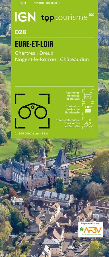
An IGN map for exploring Eure-et-Loir
The IGN TOP100 Eure-et-Loir map is ideal for planning a trip through the Beauce and Perche regions, taking in valleys, villages, and heritage towns. It offers a clear overview of the department, making it easy to plan your travels.
With a scale of 1:100,000 (where 1 cm equals 1 km), it allows you to visualize distances, major roads, minor roads, and areas worth exploring. It helps you plan an itinerary, schedule stops, or link multiple sites together in a single day.
It covers key locations such as Chartres (famous for its cathedral), Dreux, Châteaudun, and Nogent-le-Rotrou (the gateway to the Perche region). It is therefore a highly useful map for planning a weekend trip, a nature getaway, or a sightseeing tour in the Centre-Val de Loire region.
Hiking, cycling, and tourism in Eure-et-Loir
Eure-et-Loir is a wonderful place to explore on foot, by bike, or by car. With the plains of Beauce, the landscapes of the Perche, the Eure and Loir valleys, villages, châteaux, forests, and quiet roads, there are countless outing possibilities.
For hikers, this map helps identify hiking trails and major walking areas. It assists in choosing a location, planning access, and organizing an outing schedule. However, for precise trail navigation on the ground, a local IGN TOP25 map remains more suitable.
This new edition is particularly appealing to cyclists. It incorporates cycling routes developed in partnership with AF3V (France’s network of cycle routes and greenways). It allows you to plan loops, stages, or cycling excursions along the department's dedicated routes.
A practical tool for planning your stay
The IGN TOP100 Eure-et-Loir map is designed to provide a comprehensive overview of the area. It makes it easy to connect various areas: Chartres, Dreux, Châteaudun, Nogent-le-Rotrou, Le Perche, La Beauce, and the department’s valleys and tourist sites.
It serves as an excellent complement to a guidebook, GPS track, or app. Its paper format allows you to compare routes, plan alternative options, and gain a better understanding of the region's layout.
Finally, this map is a simple, reliable, and versatile tool for planning your outings. Whether you are setting out on foot, by bike, or by car, it simplifies trip planning and encourages you to venture off the main roads.
Map highlights:
- IGN TOP100 map dedicated to the Eure-et-Loir department
- New edition featuring departmental coverage
- 1:100,000 scale: 1 cm = 1 km
- Covers Chartres, Dreux, Châteaudun, and Nogent-le-Rotrou
- Ideal for tourism on foot, by bike, or by car
- Hiking trails and tourist sites marked
- Cycling routes included in partnership with AF3V
- Cycle routes and greenways shown
- Provides a clear overview of roads, villages, valleys, and natural areas
- A practical tool for planning a weekend or a longer stay in the Centre-Val de Loire region
FAQ
What area does the IGN TOP100 Eure-et-Loir map cover?
It covers the Eure-et-Loir department, including Chartres, Dreux, Châteaudun, Nogent-le-Rotrou, as well as the valleys, villages, and major tourist sites.
Is this map suitable for cycling?
Yes. It includes cycling routes in partnership with AF3V, specifically the department's cycle routes and greenways.
Can this map be used for hiking?
Yes. It allows you to locate hiking trails and major walking areas. To follow a very precise route on the ground, a local IGN TOP25 map can complement the TOP100 map.
What is the scale of this map?
The scale is 1:100,000. This means that 1 cm on the map corresponds to 1 km on the ground.
Why choose a TOP100 map for Eure-et-Loir?
Because it provides an overview of the department. It is useful for organizing a trip, planning cycling routes, locating tourist sites, and planning outings on foot or by car.
Features
Name
IGN TOP100 Map Eure-et-Loir – Chartres, Dreux, Châteaudun, and Nogent-le-Rotrou
Width
11.1 cm
Height
25.4 cm
Weight
0.106 kg
Language
French
Scale
1/100 000
This might interest you
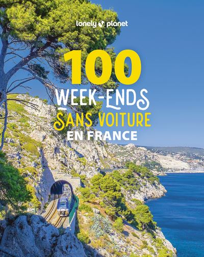
100 car-free weekends in France
What if you left the car in the garage for a weekend? This beautiful book lets you discover 100 French destinations, from Brittany to Normandy, around the Loire, in the South, between the Rhône and the Alps.
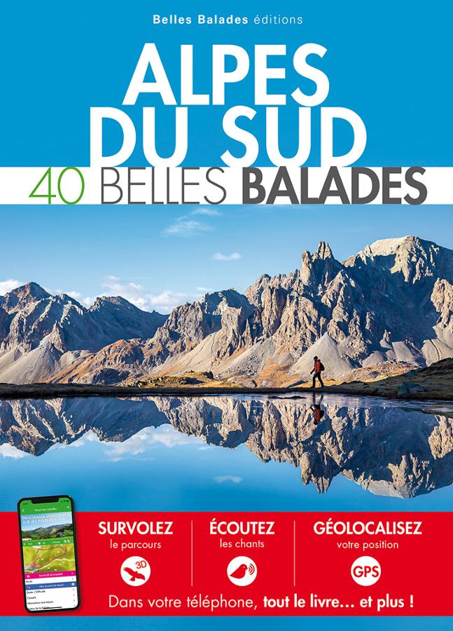
Alpes du Sud - 40 belles balades
Guide to 40 beautiful nature walks in the Southern Alps for all levels.
Similar Products
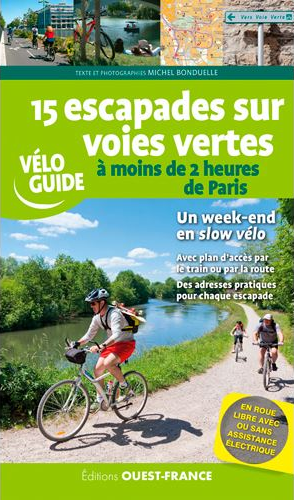
15 escapades sur voies vertes à moins de 2 heures de Paris
Passez un weekend à slow vélo à grâce à 15 itinéraires vélo en pleine nature, tout public. Toutes les infos utiles, cartes, adresses, accès train pour partir en toute sérénité.
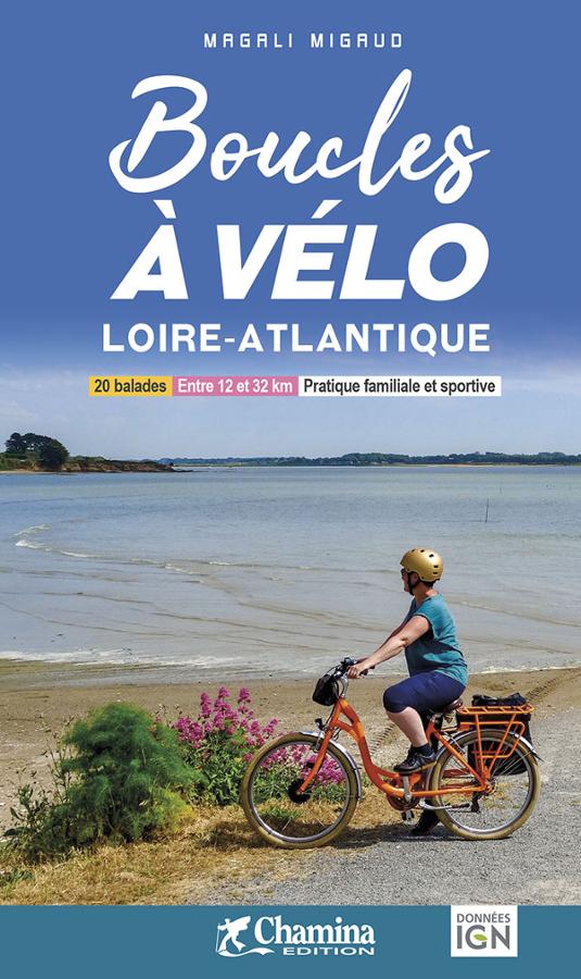
Boucles à vélo Loire-Atlantique
Topoguide to 20 cycling loops in Loire-Atlantique for families and sports enthusiasts around Nantes, Saint Nazaire and Ancenis.
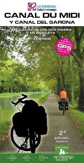
Canal du midi y canal del Garona
Spanish version guide, about Canal du Midi and Canal de la Garonne in France.
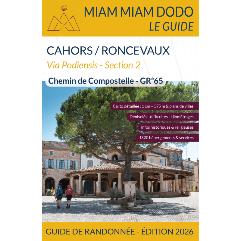
The Way of St James, Cahors/Roncesvalles GR 65 - section 2 - 2025
A reference guide designed for pilgrims on the Pilgrim's Way to Santiago de Compostela (GR65) between Cahors and Roncesvalles, with maps and historical information.