
Description
An IGN map for exploring the Vendée
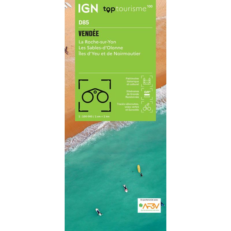
The IGN TOP100 Vendée map is ideal for planning a trip to one of the most enjoyable departments to explore on foot, by bike, or by car. It offers a comprehensive overview of the region, helping you organize travel between the coast, the *bocage* (hedgerow countryside), the marshes, and major tourist sites.
With its 1:100,000 scale, the map makes it easy to gauge distances and identify roads, towns, and key areas to explore. It is therefore highly useful for planning an itinerary, choosing stopovers, or organizing various outings during your holiday.
It is suitable for trips centered around La Roche-sur-Yon, Les Sables-d’Olonne, Noirmoutier, the Marais Poitevin, or the Vendée *bocage*. It allows you to move from a rough idea for an outing to concrete on-the-ground planning using a single resource.
Cycling, hiking, and tourism in the Vendée
The Vendée is particularly well-suited to active, low-impact travel. With a network of cycle paths, country lanes, trails, greenways, coastal forests, marshes, and villages, there are countless opportunities for discovery.
For cyclists, the map displays cycling routes, local connections, and secondary roads. It is handy for planning day trips, family loops, or cycling holidays along the Vendée coast.
For hikers, it helps identify GR® long-distance trails, major natural areas, and spots suitable for walking. However, for precise trail navigation on the ground, a local IGN TOP25 map remains the better choice.
A practical tool for planning a trip to the Vendée
The IGN TOP100 Vendée map is especially useful for combining different types of experiences in a single trip. You can plan a day on the coast, an excursion into the marshes, a village visit, or an outing in the *bocage* countryside.
It serves as an excellent complement to a travel guide, a hiking guidebook, or a GPS app. Its paper format offers a comprehensive view of the department, making it easy to compare routes and plan alternative options.
It is designed for travelers who prefer planning their holidays using a clear, tangible resource. It allows you to visualize the area before you leave and enjoy your travels with greater peace of mind once there.
Map highlights:
- IGN TOP100 map covering the Vendée department
- 1:100,000 scale
- Ideal for planning trips on foot, by bike, or by car
- Provides a great overview of the coastline, *bocage* (hedgerow countryside), and marshlands
- Features GR® trails, local roads, and major routes
- Useful for planning cycling tours and sightseeing excursions
- Handy for discovering beaches, villages, forests, and natural sites
- A paper resource that complements GPS devices or apps
- Suitable for families, hikers, cyclists, and road-trippers
- Useful for organizing a weekend getaway or a holiday in the Vendée
FAQ
What area does the IGN TOP100 Vendée map cover?
It covers the Vendée department, including major tourist areas: the Atlantic coast, islands, marshes, *bocage* countryside, towns, villages, and natural sites.
Is this map suitable for cycling?
Yes. It allows you to visualize cycling routes, secondary roads, and local connections, making it practical for planning cycling tours in the Vendée.
Can it be used for hiking?
Yes. It helps identify GR® trails and major walking areas. However, for precise on-the-ground navigation, it is best supplemented with a local IGN TOP25 map.
What is the map's scale?
The scale is 1:100,000. This means that 1 cm on the map corresponds to 1 km on the ground.
Why choose a TOP100 map for the Vendée?
Because it provides a comprehensive overview of the entire department. It is convenient for planning a trip, connecting various sites, and organizing outings that take in the coast, marshes, hedgerow countryside, and villages.
Features
Name
IGN TOP100 Map: Vendée – Coast, bocage, and marshes
Width
11 cm
Height
25.5 cm
Weight
0.107 kg
Language
French
Scale
1/100 000
This might interest you
Map of the Vendée by bike - IGN TOP Vélo
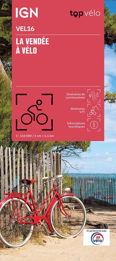
Discover the Vendée region by bike with this IGN TOP Vélo 1:110,000 scale map. Produced in partnership with the French Cycling Federation (FFvélo), it offers 46 routes to explore the coast, marshes, villages, country roads, and the Vendée hinterland. A practical tool for planning a ride, a weekend getaway, or a longer cycling holiday between the Atlantic coast and the Vendée countryside.
Ile de Noirmoutier - TOP 25 - 1125 OT
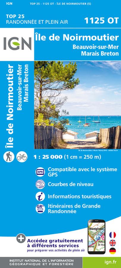
IGN TOP 25 1125 OT hiking and outdoor map of the island of Noirmoutier, Beauvoir-sur-Mer and Marais Breton with Grande randonnée itineraries.
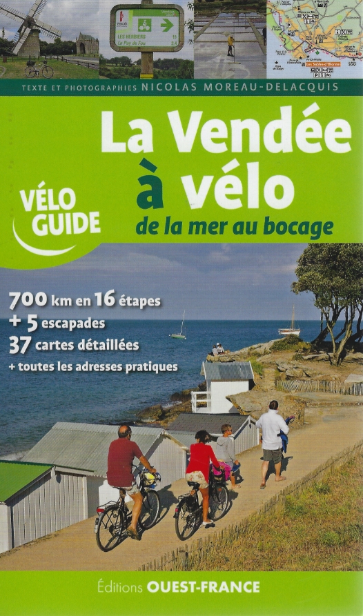
La Vendée à vélo, de la mer au bocage
Découvrez la Vendée à vélo à travers 16 étapes (700 km) et 5 escapades de pure évasion (dont l'île d'Yeu).
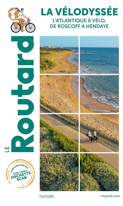
La Vélodyssée : from Roscoff to Hendaye, Le Routard
Routard guide along the Velodyssee, from Roscoff to Hendaye
Similar Products
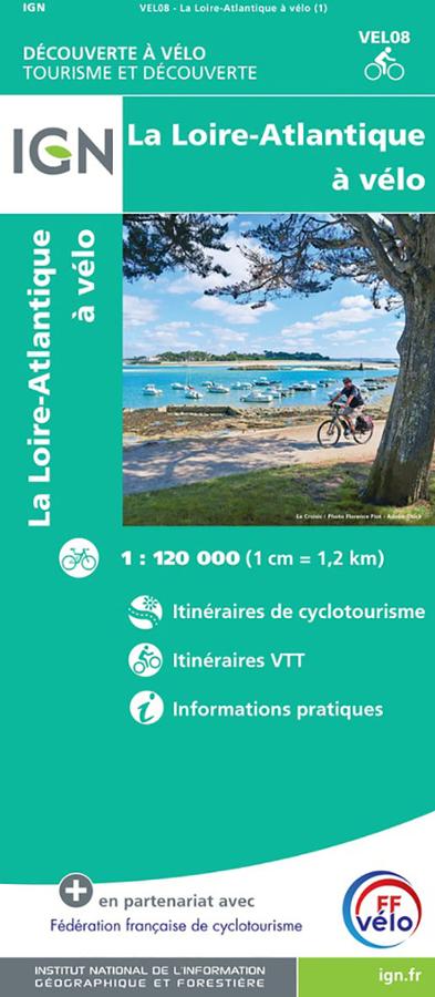
Loire-Atlantique by bike - IGN map
IGN cycling map of Loire-Atlantique at 1/120,000 with cycle touring routes, mountain bike routes and practical information.
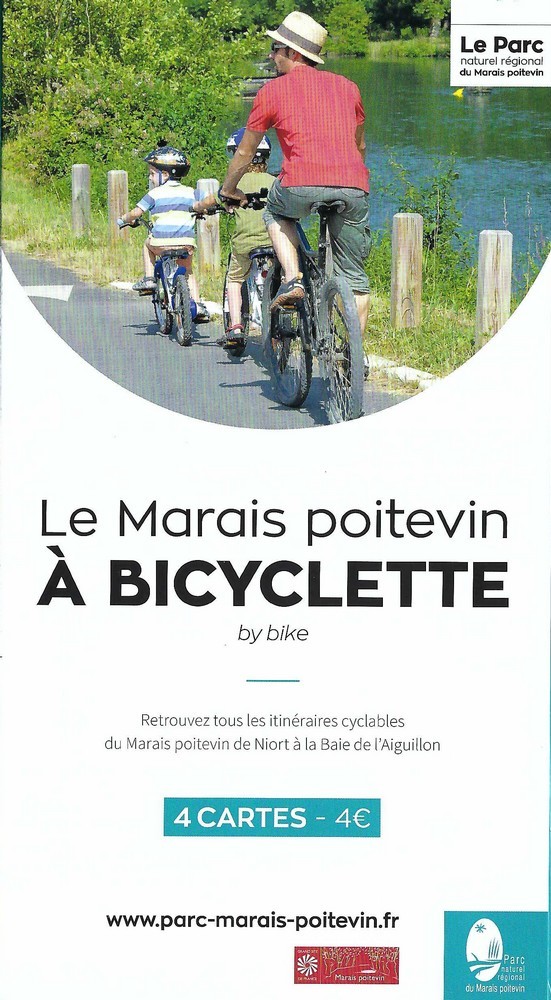
The Marais Poitevin by bicycle
Set of 4 cycling maps with all the Marais Poitevin cycling routes from Niort to the Baie de l'Aiguillon.