
Description
An IGN map for exploring the Cantal
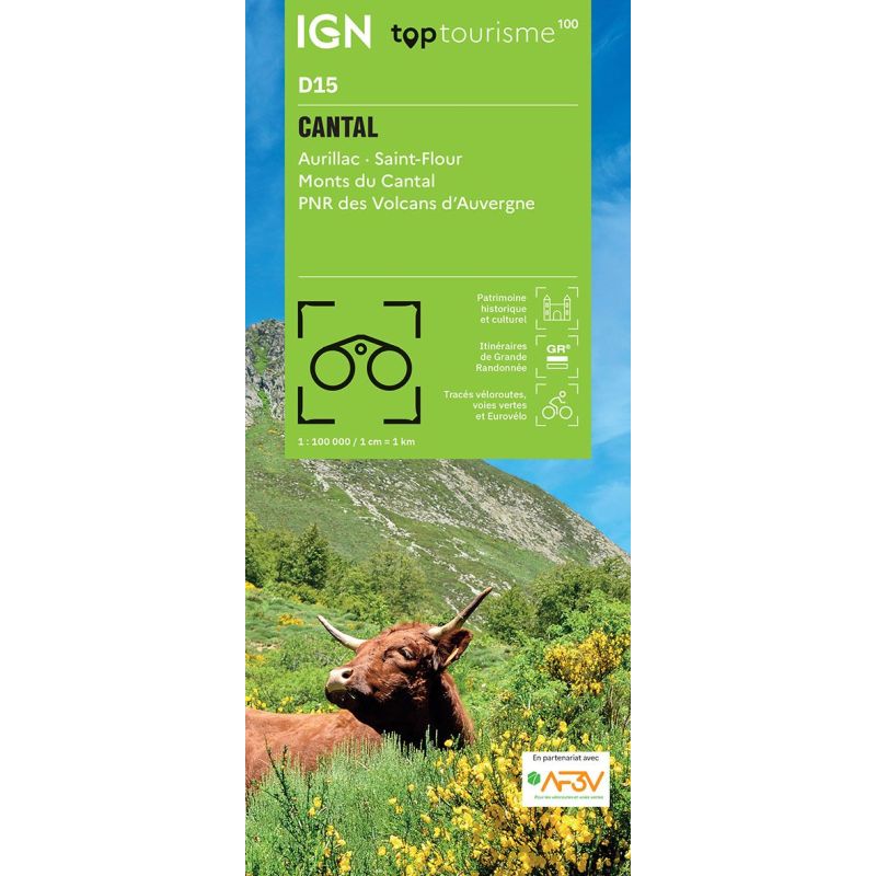
The IGN TOP100 Cantal map is a highly useful tool for planning a trip to the heart of Auvergne. It offers a comprehensive view of the department, featuring valleys, volcanic plateaus, villages, scenic roads, and vast natural landscapes.
It covers the areas of Aurillac, Saint-Flour, the Cantal Mountains, and the Auvergne Volcanoes Regional Nature Park. This makes it easy to plan a weekend getaway, a touring holiday, or an itinerary combining hiking, cycling, and sightseeing.
With its 1:100,000 scale, it provides a clear sense of distances. It helps identify access points, connections between valleys, minor roads, and key sites to visit. It is therefore an ideal map for building an itinerary before you set off.
Hiking, cycling, and vast volcanic landscapes
The Cantal is a perfect destination for nature lovers. The region boasts volcanic terrain, summer mountain pastures, mountain passes, lakes, gorges, characterful villages, and numerous hiking trails.
For hikers, this map helps locate GR® (long-distance) and GR® de Pays (regional) trails. It assists in choosing a hiking area, understanding the lay of the land, and finding access points to major routes. However, for following a specific path on the ground, a local IGN TOP25 map remains more suitable.
For cyclists, it is also a valuable planning tool. Cycle routes, greenways, and secondary roads allow you to devise itineraries connecting Aurillac, Saint-Flour, the Cantal valleys, and the landscapes of the Cantal Mountains.
A practical map for planning your trip to Auvergne
This TOP100 map is particularly useful for travelers wishing to visit multiple sites during a single trip. It allows you to visualize roads, villages, mountain passes, natural sites, monuments, and points of tourist interest. It is equally suitable for car trips, cycling tours, or holidays combining hiking and sightseeing. Moreover, it provides a comprehensive overview of the region, making it easier to plan stopovers and navigate the area.
Finally, the paper format remains highly practical as a complement to a GPS or app. It allows you to view the Cantal region as a whole and plan your routes with greater ease.
Map highlights:
- IGN TOP100 map dedicated to the Cantal department
- Covers Aurillac, Saint-Flour, the Cantal Mountains, and the Volcans d’Auvergne Regional Nature Park
- Scale: 1:100,000
- Ideal for planning trips on foot, by bike, or by car
- GR® and GR® de Pays trails marked
- Cycle routes, greenways, and local road network shown
- Cycling routes created in partnership with AF3V
- Relief, contour lines, and spot heights for reading the terrain
- Tourist information: monuments, museums, mountain huts, viewpoints, natural sites
- Legend in French, English, and German
FAQ
What area does the IGN TOP100 Cantal map cover?
It covers the Cantal department, including Aurillac, Saint-Flour, the Cantal Mountains, and the Volcans d’Auvergne Regional Nature Park.
Is this map suitable for cycling?
Yes. It shows cycling routes, greenways, and the local road network, making it practical for planning cycling tours in Cantal.
Can it be used for hiking?
Yes. It allows you to identify GR® and GR® de Pays trails. For precise navigation on the ground, however, it is best supplemented with a local IGN TOP25 map.
What is the scale of this map?
The scale is 1:100,000. This means that 1 cm on the map corresponds to 1 km on the ground. Why choose a TOP100 map for the Cantal?
Because it offers a comprehensive overview of the department. It allows you to plan your trip, connect various sites, and map out an itinerary that takes in mountains, valleys, villages, and scenic routes.
Features
Name
TOP100 Map of Cantal – Aurillac, Saint-Flour, Monts du Cantal, and Auvergne Volcanoes Regional Nature Park
Width
11 cm
Height
25.5 cm
Weight
0.105 kg
Language
French
Scale
1/100 000
This might interest you
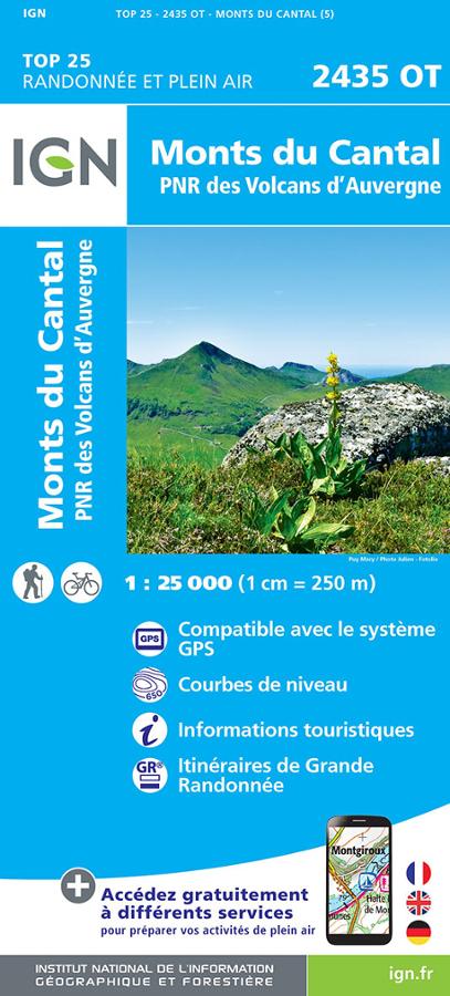
Monts du Cantal et PNR des Volcans d'Auvergne - IGN TOP 25
Carte IGN TOP 25 Randonnée et plein air 2435 OT sur les Monts du Cantal et PNR des Volcans d'Auvergne avec itinéraires de grande randonnée et informations touristiques.
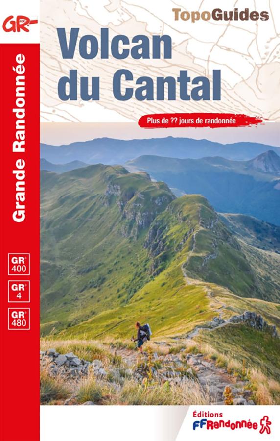
Cantal Volcano guidebook – GR®400, GR®4 and GRP®
Explore the Cantal Mountains with this FFRandonnée guidebook dedicated to the GR®400. Circling Europe's largest volcano, the route crosses ridges, valleys, summer pastures, and the high peaks of the Cantal region. Between the Plomb du Cantal, the Puy Mary, Murat, Aurillac, and Saint-Flour, this guide accompanies hikers on over 20 days of trekking in the Auvergne.
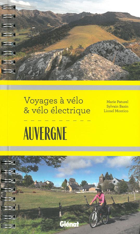
Voyages à vélo & vélo électrique en Auvergne
Guide de randonnée à vélo et vélo électrique en Auvergne dans l'Allier, sur la Véloroute V70 jusqu'aux volcans du Cantal en passant par le Puy-de-Dôme et la Haute-Loire.