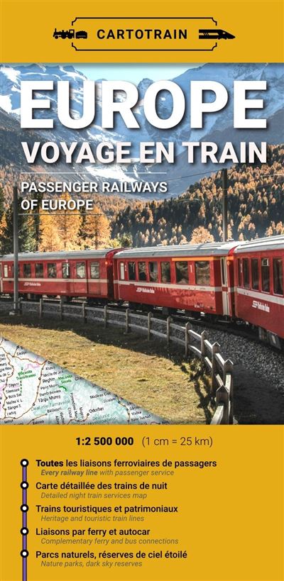
Description
A rail map for a different way to travel across Europe
The Cartotrain "Europe – Train Travel" map is designed for anyone wanting to plan a rail journey across Europe with a clear, comprehensive overview. It allows you to visualize major routes connecting capitals, as well as lesser-known paths, regional trains, scenic tourist lines, and overnight journeys.
It serves as a highly useful tool for planning a trip without flying. You can compare routes, identify potential connections, and build a multi-stop itinerary. It is ideal for Interrail travelers, "slow travel" enthusiasts, and fans of night trains or epic European rail journeys.
Thanks to its foldable paper format, this map offers a broad perspective that apps don't always provide. It helps you grasp the rail network as a whole, gauge distances, and discover new route ideas.
Night trains, scenic lines, and major routes
This map goes beyond standard major routes. It highlights European night trains, high-speed lines, slower regional routes, and scenic or heritage lines.
It is a real asset for planning a unique rail journey. For instance, you could plan a route between major cities and then add a scenic line, a mountain crossing, or an overnight connection to save time.
The map also indicates ferry and coach connections for instances where trains don't cover the whole journey. Additionally, it includes useful geographical details such as forests, lakes, natural areas, and key terrain features. This helps create a richer travel experience that combines transport, scenery, and exploration.
A practical tool for planning an Interrail trip or low-carbon travel
The Cartotrain "Europe – Train Travel" map is particularly well-suited for planning an Interrail trip. It allows you to identify the countries you'll pass through, major stations, rail corridors, and possible routes between various destinations.
It is also ideal for travelers looking to minimize air travel. It encourages a different approach to travel: slowing down, taking in the passing landscapes, stopping in smaller cities, and enjoying the journey just as much as the destination.
It is also a highly inspiring map for planning a family trip, a tour of Europe, a themed rail journey, or a multi-day getaway. It pairs perfectly with a travel guide, an Interrail pass, or an online route planner.
Map highlights:
- Paper map dedicated to train travel in Europe
- Published by Cartotrain
- Ideal for planning an Interrail trip or air-free travel
- Features the European passenger rail network
- Shows night trains, main lines, and secondary lines
- Highlights scenic and heritage rail routes
- Includes stations, ferries, and connecting coach services
- Provides a useful overview for itinerary planning
- Practical fold-out format for trip planning
- An inspiring resource for "slow travel" and low-carbon journeys
FAQ
Who is the "Europe – Train Travel" map for?
It is designed for travelers who want to explore Europe by train. It is useful for planning an Interrail trip, a multi-week journey, a rail-based city break, or an air-free getaway.
Can this map be used to plan an Interrail trip?
Yes. It helps visualize rail lines, major stations, cross-border connections, and potential routes across Europe.
Does the map show night trains?
Yes. Night trains are among the highlighted features. This makes it convenient to plan long-distance travel while optimizing journey time.
Can it be used alongside an online route planner?
Yes. The map is an ideal complement to apps or booking websites. It provides a broad overview, while online tools are useful for checking schedules and tickets.
Why choose a paper map for train travel? A paper map provides a better understanding of the European rail network. It helps you spot alternatives, scenic routes, possible connections, and travel ideas that might not immediately come to mind when looking at a screen.
Features
Name
Europe map – Train travel – Cartotrain
Weight
0.1 kg
Language
French
pubication
2026