
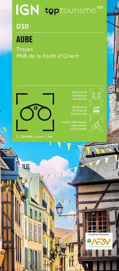

Description
A practical map for exploring the Aube
The IGN TOP100 Aube map is designed to help you discover the department with a clear and comprehensive overview. It allows you to locate major roads, local routes, hiking trails, cycling routes, and key tourist attractions.
It is particularly useful for planning a trip around Troyes, a city of art and history known for its half-timbered houses, ancient alleyways, and Champagne heritage. It also covers the area of the Forêt d’Orient Regional Natural Park, prized for its large lakes, forests, migratory birds, and outdoor activities.
Thanks to its 1:100,000 scale, this map offers a comprehensive view. It helps you plan your journeys, create a route, and visualize the distances between the different sites you want to discover.
Hiking, cycling, and sightseeing in the Aube department
This map is for travelers who enjoy combining walking, cycling, sightseeing, and exploring quiet country roads. It shows the GR® long-distance hiking trails, the GR® regional trails, secondary roads, and cycle routes or greenways.
For cyclists, it's a useful tool for planning rides around Troyes, reaching the lakes of the Forêt d'Orient, or following more leisurely routes through the Champagne countryside. The cycling routes referenced by AF3V offer real practical value for organizing outings.
For hikers, the map helps locate major footpaths and choose areas to explore. While it doesn't replace a TOP25 map for detailed hike information, it remains very useful for planning a trip.
A clear guide to connecting sites to visit
The advantage of this TOP100 map is that it facilitates the overall planning of a trip. It allows you to connect Troyes, lakes, villages, forests, natural sites, and cultural points of interest without losing sight of the big picture.
It is therefore ideal for a weekend getaway, a road trip, or a stay combining driving, cycling, and hiking. As a complement to a GPS or tourist guide, it offers a simple and reliable paper reference.
Map Highlights:
- IGN TOP100 map dedicated to the Aube department
- Covers Troyes and the Forêt d’Orient Regional Natural Park
- Scale: 1:100,000
- Ideal for tourism, cycling, light hiking, and road trips
- GR®, GR® de Pays, and cycling routes marked
- Integrated cycling routes in partnership with AF3V
- Good overview of secondary roads and tourist sites
- Practical for planning a weekend or longer stay in Champagne
- Legend in French, English, and German
FAQ
What area does the IGN TOP100 Aube map cover?
It covers the Aube department, including Troyes, the Forêt d’Orient Regional Natural Park, lakes, villages, and major tourist attractions.
Is this map suitable for cycling?
Yes. It incorporates cycle routes and greenways developed in partnership with AF3V, making it practical for planning bike rides.
Can it be used for hiking?
Yes, especially for locating GR® trails and planning a trip. For precise on-the-ground hiking, a local IGN TOP25 map will be more suitable.
What is the scale of this map?
The scale is 1:100,000. This means that 1 cm on the map corresponds to 1 km on the ground.
Why choose a TOP100 map for the Aube?
Because it provides a good overview of the department. It is ideal for planning a route, connecting several sites and organizing your travels between nature, heritage and greenways.
Features
Name
IGN TOP100 map of Aube – Troyes and the Forêt d’Orient Regional Natural Park
Language
French
Scale
1/100 000