
Description
A map to plan your outings in the Écrins
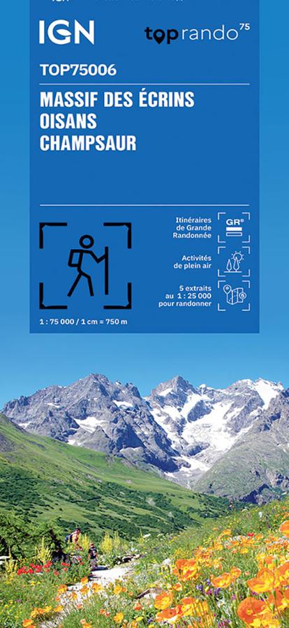
The IGN TOP75 Écrins Massif Oisans Champsaur map is designed for mountain lovers who want a clear overview of the area. It covers a major Alpine region, encompassing high peaks, glacial valleys, high-altitude villages, lakes, mountain passes, and major hiking trails.
It is particularly useful for planning a trip around the Écrins National Park, the Oisans region, and the Champsaur valley. All in one map, it allows you to visualize access points, terrain features, main roads, and connections between the different valleys.
Therefore, it is suitable for both pre-trip planning and general reference while you're there.
Oisans, Champsaur, and major mountain trails
This area of the Alps offers a great diversity of landscapes. The Oisans region captivates visitors with its dramatic peaks, deep valleys, and access to major mountain passes. The Champsaur region offers a more open atmosphere, nestled between mountain pastures, peaks, streams, and villages.
The map helps locate GR® trails, hiking routes, local roads, mountain huts, viewpoints, and tourist sites. Contour lines and elevation markers also provide a better understanding of the terrain before choosing a route.
It can also be used by cyclists. The complete road network allows you to identify mountain passes, valleys, and possible routes to create a course suited to your skill level.
A good compromise between overview and precision
The 1:75,000 scale allows you to view the entire mountain range. This is useful for comparing different areas, planning stages, or understanding distances between valleys.
In addition, the five 1:25,000 scale extracts provide a finer level of detail on selected areas. They are useful for planning short hikes, loops, or more specific outings.
This map is therefore a good resource for planning a trip to the Écrins, Oisans, or Champsaur regions. For very technical hikes or hikes off marked trails, it can be supplemented with a local IGN TOP25 map.
Map highlights:
- IGN TOP75 map dedicated to the Écrins massif, Oisans, and Champsaur regions
- Overview at 1:75,000 scale
- 5 zoom levels at 1:25,000 scale for planning specific hikes
- Ideal for hiking, cycling, sightseeing, and outdoor activities
- GR®, GR® de Pays, local roads, and marked hiking routes
- Relief features, contour lines, elevation markers, and rocky areas
- Mountain huts, guesthouses, and tourist information
- Useful map around the Écrins National Park
- Practical paper map to complement a GPS or guidebook
FAQ
What area does this IGN TOP75 map cover?
It covers the Écrins massif, the Oisans region, and the Champsaur valley in the French Alps.
Is this map suitable for hiking?
Yes. It allows you to locate GR® trails, hiking routes, mountain huts, terrain features, and access points to the main areas of the massif.
Can it be used to plan a trip to the Écrins National Park?
Yes. It provides a very useful overview for planning a trip, choosing a valley, or identifying major access points around the park.
What is the scale of this map?
The main scale is 1:75,000. It offers a comprehensive view of the area.
Is a TOP25 map necessary as well?
For a typical hike, this TOP75 map is very practical. For a more technical, highly specific, or challenging route, a local IGN TOP25 map is still recommended.
Features
Name
IGN TOP75 map of the Écrins Massif – Oisans – Champsaur
Width
11.5 cm
Height
25 cm
Weight
0.1 kg
This might interest you

30 randonnées sur les GR® du sud, de la Haute Provence à la Méditerranée
Guide to the 30 most beautiful hikes on the FFRandonnée signposted GR trails from Haute Provence to the Mediterranean, from 2 to 4 days of escape and roaming.
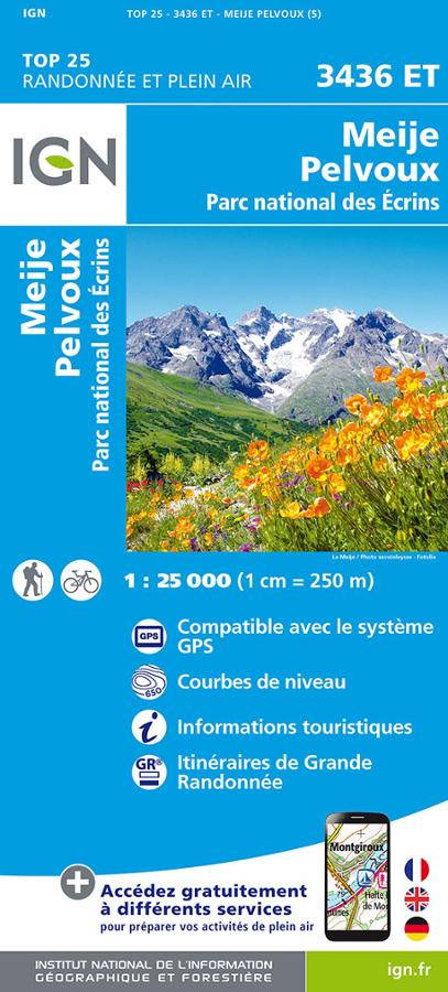
Meije - Pelvoux - Parc national des Ecrins - Carte IGN TOP 25
Carte IGN TOP 25 de randonnée et plein air autour de Meije, Pelvoux et Parc national des Ecrins avec itinéraires de Grande randonn?e.